Another 'Weather Bomb' Could Be Coming To Canada & Bringing Blizzard Conditions With It
This would be the second "weather bomb" to hit Canada in just a week!
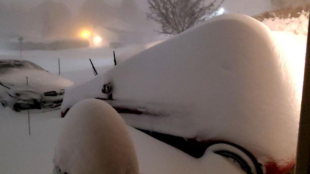
Get ready because yet another "weather bomb" could be on the way for some parts of Canada and that could mean blizzard conditions for some places!
The Weather Network said it's possible that a strong nor'easter will move up the East Coast of the U.S. and then bring "significant winter weather" to Atlantic Canada on Friday, January 14 and Saturday, January 15.
It's expected that heavy snow, strong winds and an icy mix are possible for the region and some places could have to deal with blizzard conditions.
As the low-pressure system approaches Canada on Friday, it's possible that it will meet the criteria of a "weather bomb" as it reaches the region.
If that does happen, that will be the second time in just a week that that kind of weather event has hit Atlantic Canada!
The Weather Network has forecast that heavier snowfall totals are likely in western and northern parts of Nova Scotia thanks to colder air that will keep temperatures below zero.
Also, it will be snowy across New Brunswick and most of P.E.I. with 15 to more than 30 centimetres possible through early Saturday.
When it comes to wind, speeds of 80 km/h to 110 km/h are forecast through almost all of Nova Scotia, eastern P.E.I. and coastal areas of Newfoundland.
The Weather Network said it's expected that P.E.I. and northern Nova Scotia will get blizzard conditions into Saturday because of the combination of snow and strong winds.
Just a week earlier, a "weather bomb" was also forecast to hit Atlantic Canada with 50 centimetres of snow and winds expected to reach over 100 km/h.
Some places ended up getting a little less than that but there was still a lot of snow that came down. Also, the power even went out in some locations because of the storm!