A 'Weather Bomb' Could Be Heading For Canada & Blizzard Conditions Are Possible In 4 Provinces
Some places could see up to 50 centimetres of snow!
It's about to get pretty messy as a "weather bomb" could be heading for Canada and bringing possible blizzard conditions to a bunch of provinces.
According to a new forecast from The Weather Network, there could be heavy snow, high winds and blizzard conditions in Atlantic Canada from Friday, January 7, through Saturday, January 8, thanks to a "nor'easter" system.
This system is likely to qualify as a "weather bomb," a term for a low-pressure system that rapidly deepens its central minimum pressure in a short period of time.
The Weather Network said that this quick intensification will cause the storm to produce strong winds and heavy snowfall rates as it spreads over the region.
Snowfall totals could actually reach 50 centimetres through Saturday! However, it's still not known where the heaviest snow will come down, as that will depend on the exact track of the system.
Also, wind gusts are forecast to have speeds ranging from 80 to more than 100 km/h across coastal areas, especially in Nova Scotia and Newfoundland.
Blizzard conditions are likely in all four Atlantic provinces during the storm and the combination of strong winds with heavy snow could result in reduced visibility on the roads along with power outages.
For the rest of the country, January will be a flip flop of weather conditions because of "major pattern upheavals" throughout the weeks ahead.
The coldest air of the season so far will spread from the west to the east into Ontario, Quebec and Atlantic Canada thanks to a polar vortex that's been stationed over western parts of the country recently.
However, by the time February arrives, Western Canada should be back to consistently cold weather, while eastern areas of the country should experience milder conditions.
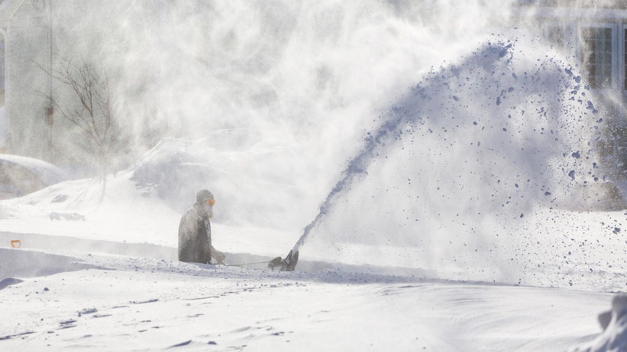
This article's cover image was used for illustrative purposes only.
- Canada's Weather Will See 'Major Pattern Upheavals' In January ... ›
- The Polar Vortex Hovering Over Canada Is Shifting East & Bringing ... ›
- A 'Weather Bomb' Slammed Atlantic Canada & Some Places Got More Than 40 cm Of Snow (PHOTOS) - Narcity ›
- Another 'Weather Bomb' Could Be Coming To Canada & Bringing Blizzard Conditions With It - Narcity ›