Ontario's Weather Forecast Calls For A Mess Of Ice & Snow With Up To 15 cm For Some Areas
Get your toque out! ❄️
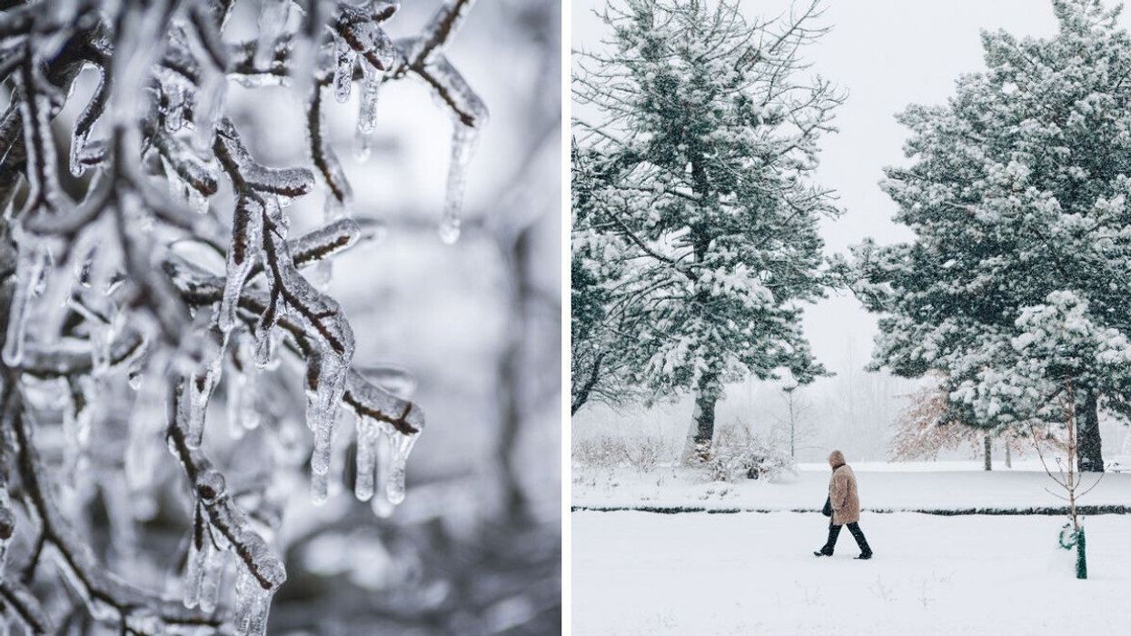
Branches after freezing rain. Right: A person walks outside after a snowfall.
Get ready, Ontario! A new weather forecast predicts a messy system with rain, ice and snow to hit this week, making for a tough day of winter travel.
Ontario's weather forecast says a snowy system will be pushing into the province on Tuesday, bringing up to 15 centimetres of snow for some areas.
According to The Weather Network, a Colorado low (aka a low-pressure storm system that can produce blizzards and hazardous winter weather) will meet up with a trough over the Great Lakes on Tuesday, creating a messy mix of precipitation across parts of the province.
As the outlet predicts, most of southwestern Ontario, including areas like London and Windsor, will face a "cold rain."
However, with temperatures hovering just above freezing, there could be the possibility of snow in areas north of Guelph and the Greater Toronto Area.
There's also a risk of freezing rain near the Orangeville area, with 2-4 millimetres expected and cities like Collingwood and Elora set to be affected. While the period of freezing rain is expected to be short, those in the region will want to take caution when driving and prepare for potential localized power outages.
By late Tuesday evening, heavier snow will fall across eastern Ontario says TWN, with "rain showers winding down through the evening and overnight for the GTA."
Northern parts of the GTA, particularly those north of Highway 407, could also see some "slushy, wet snow."
Several weather warnings have been issued by Environment Canada for Ontario, with multiple freezing rain warnings and weather advisories notifying residents of the upcoming snowfall.
"Be prepared to adjust your driving with changing road conditions. Take extra care when walking or driving in affected areas. If visibility is reduced while driving, slow down, watch for tail lights ahead and be prepared to stop," says the weather agency.
According to TWN, the largest snowfall with this system will likely happen across eastern Ontario.
By Tuesday evening, major cities like Ottawa are set to be "engulfed" in the winter weather, with as much as 15 centimetres of snow predicted for downtown areas, so make sure you've got a shovel handy!
This article's cover image was used for illustrative purposes only.