Ontario's Weather Forecast Says A Bomb Cyclone Is On The Way With Up To 20 cm Of Snow
Winter is definitely here. ❄️🥶
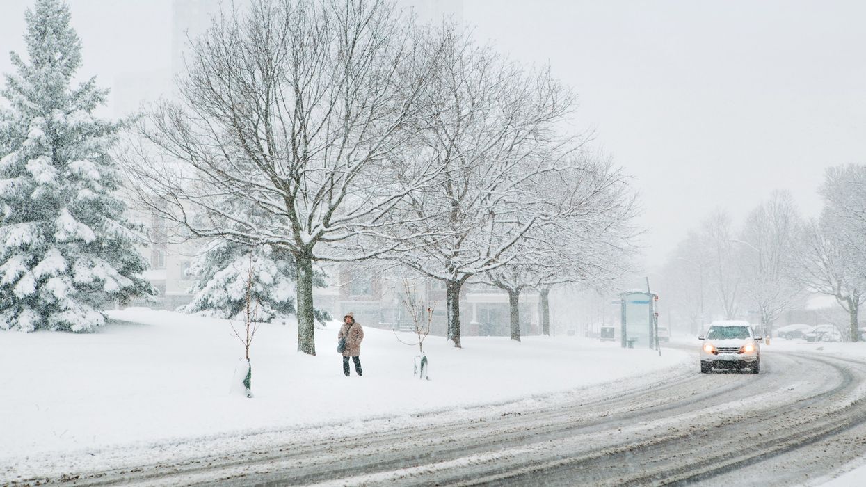
A person walks in snow in Ontario.
Ontario got a real hit of wintry weather this week with the arrival of a winter storm, and now it looks like another round of strong winter weather is on the way.
Ontario's weather forecast says the province is set to see a "massive and powerful" winter storm that's set to bring widespread strong winds and even more heavy snow.
Coupled with "much colder air," the storm could bring in significant snowfall totals to the province, so hopefully you haven't put away your shovel just yet.
According to The Weather Network, the storm is set to begin late Friday, January 12. The winter storm is forecast to undergo bombogenesis, a term used by meteorologists to describe when a low's minimum central pressure deepens by at least 24 millibars in just 24 hours.
According to the U.S. National Oceanic and Atmospheric Administration, bombogenesis can happen when a cold air mass collides with a warm air mass and is popularly referred to as a "bomb cyclone."
The strengthening of pressure is also noteworthy because it can mean an increase in winds and precipitation rates expected for communities along the storm's track, according to TWN.
The system will begin in southwestern Ontario Friday evening and "engulf the rest of the province by midnight," says TWN. It will be colder than the last storm, but some areas like Windsor and London may see some rain or mixed weather.
The storm is set to bring in 10-20 centimetres of snow across the province, with some localized areas possibly even seeing more than 20 centimetres.
"Extensive blowing and drifting snow is likely amid gusty winds, and depending on the exact storm track, there's also the potential for localized wind damage and power outages," says TWN.
Unfortunately, things won't get much better by Sunday, with colder-than-seasonal temperatures and a snow squall event in the forecast.
By Monday, the polar vortex will send Ontario its coldest air of the season, with Toronto set to be a frigid -13 C, so bundle up if you're heading out!
This article's cover image was used for illustrative purposes only.