Ontario To Get Hit With A 'Major Winter Storm' This Weekend & Here's How Things Will Play Out
Some areas could get up to 30 centimetres of snow. 🥶🌨
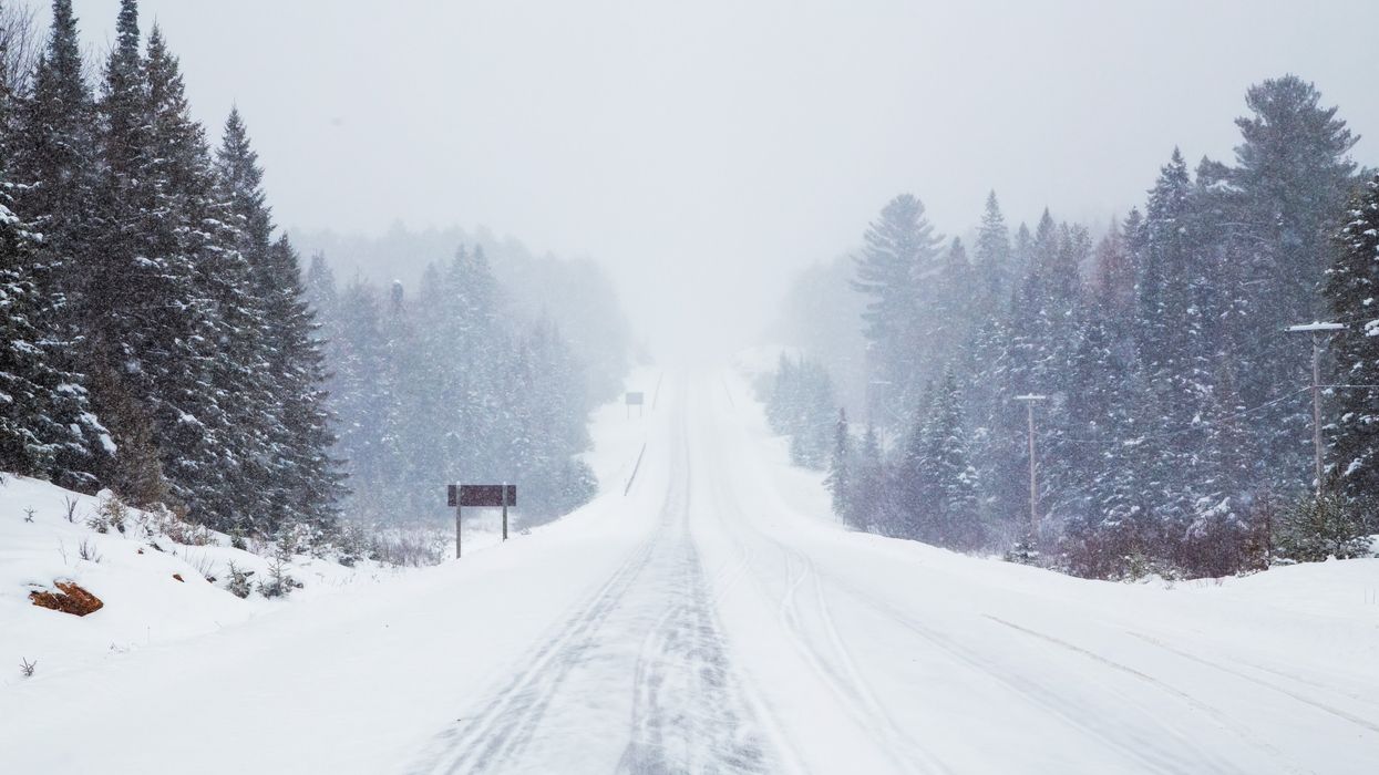
A snowstorm in Ontario.
A major winter storm is set to hit Ontario this weekend, bringing with it over 20 centimetres of snow and creating dangerous travel conditions.
Ontario's weather forecast says a major low-pressure system is heading into the Great Lakes region on Friday, and with more cold air and less rain than the last storm the province saw, the region could see significant snowfall and even wind damage and power outages.
With the risk of whiteout and blizzard conditions, you may want to rethink or adjust any weekend plans. Here's how things are going to play out with this winter storm.
According to The Weather Network, the system is expected to move into southwestern Ontario by late Friday afternoon and will "quickly intensify" by the evening.
"This is where a high impact scenario may take place as millions of commuters attempt to get home. Expect heavy snow coinciding with gusts between 60-80 km/h," says the weather outlet, noting that travelling at this time is not recommended.
Multiple winter storm watches have been issued for Ontario ahead of the event, with Environment Canada warning that the heaviest snowfall is expected Friday night.
"Snow in combination with gusty winds will result in areas of blowing snow and greatly reduced visibility," reads the alert.
Total snowfall accumulations of 15 to 30 centimetres are possible for some areas, including Algonquin, the Greater Sudbury area and its vicinity, Grey-Bruce, Haliburton, and the Parry Sound-Muskoka region, with peak snowfall rates of 2-5 centimetres and strong wind gusts resulting in areas of blowing snow.
The system will engulf the rest of the province by midnight, says TWN, noting that snowfall rates could reach a peak of 3-5 centimetres at this time, making for some "treacherous travel through the night."
The heaviest snow of the storm will fall in the late evening and through the overnight hours, and will linger into Saturday morning for eastern Ontario, including areas like Ottawa, it says.
Across the province, 10-20 centimetres of snow is possible. Toronto is set to get between 5 and 15 centimetres of snow between Friday evening and Saturday, according to the current outlook.
And the snow isn't the only thing to worry about. According to TWN, wind gusts with speeds of gusts of 60-80+ kilometres per hour are likely, which could mean potential power outages in addition to reduced visibility on roads.
Late Saturday, northwesterly winds will develop lake-effect bands of snow for areas like the Saugeen Shores, Wasaga Beach, Barrie and surrounding regions.
Moving into Sunday and Monday, the forecast says that westerly winds will bring snow to the Bruce Peninsula and areas like Parry Sound, Huntsville, Bracebridge, and Gravenhurst, with colder-than-seasonal temperatures also dominating on Sunday.
Fortunately, there may be some relief on the horizon, with a "milder pattern" expected for the final week of January.
This article's cover image was used for illustrative purposes only.