Southern Ontario's Weather Forecast Says The Region Could See Its First Snowfall This Week
Time to bring out the shovels! ❄️
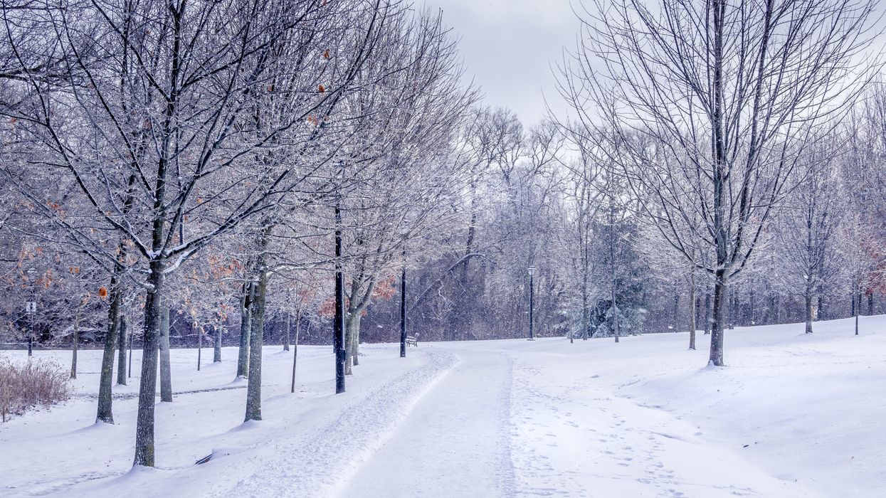
Snow in Ontario.
It looks like the bout of warm weather Southern Ontario experienced recently has come to an end, with chilly temperatures and even the possibility of snow now on the horizon.
Ontario's weather forecast says that plunging temperatures will bring the risk of the region's first snow of the season over the next few days.
According to The Weather Network, the taste of warm weather in Southern Ontario will "soon be a distant memory" as an abrupt temperature change takes place.
These cooler conditions have set the stage for many areas in the region to see their first snowfall over the next couple of days, says the weather outlet.
According to the forecast, after the cold front that southern parts of the province are currently experiencing passes, a "trough," (a long narrow area of low air pressure that tends to result in cooler and more unsettled weather conditions) will move through the Great Lakes region, resulting in chilly daytime highs that will struggle to get to a few degrees above freezing.
Along with this system of cold, there will be the risk of snow through Wednesday around the "typical snow belt regions," which include the southern and eastern shores of Lake Huron, Parry Sound, Georgian Bay, and London.
According to TWN, the snow will fall on Monday evening and on Halloween night on Tuesday as cold winds blow over Lake Superior, Lake Huron, and Georgian Bay.
Some spots near Sarnia, Collingwood, and across Ontario's cottage country could see 3-5 centimetres of snow into Wednesday, it says.
Luckily for those in the GTA, a "spotty rain shower" is more likely than snow, though this could change to snowflakes as you head north into New Market and Barrie.
Overall, it looks like many in the area could make out fairly easy, especially compared to northern parts of the province, where up to 20 centimetres of snow was predicted to fall on Friday.
Unfortunately, this bout of wintry weather may be just a taste of what's to come for the winter season.
A Canada weather forecast released by the Old Farmer's Almanac this summer has predicted a "whiteout" for the country, with Ontario expected to see a classic, cold and snowy winter.
Bundle up, Ontario!
This article's cover image was used for illustrative purposes only.