Ontario's Weather Forecast Says Up To 20 cm Of Snow Could Hit Parts Of The Province This Week
Drivers are warned that travel could be difficult. ❄️
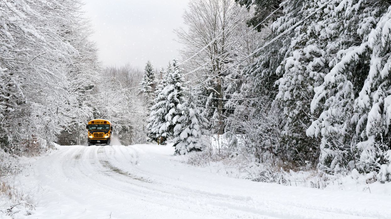
Snow in Northern Ontario.
Buckle up, Ontario! Parts of the province are getting a true taste of wintry weather this week, with snow in the forecast.
Ontario's weather forecast says parts of the province could see up to 20 centimetres of snow on Friday, making for an abrupt shift from fall into winter.
According to The Weather Network, an early-season storm will bring a mix of frozen precipitation to areas across northern Ontario, including rain, freezing rain, ice pellets, and heavy snow.
Several weather warnings are in effect in the region, advising residents that the first significant snowfall of autumn could make travelling difficult.
Snowfall warnings were issued Friday by Environment Canada for areas including Attawapiskat, Dryden-Ignace, Fort Hope-Webequie, Kenora-Nestor Falls and Sioux Lookout-Savant Lake, with freezing rain and special weather warnings for other areas.
According to TWN, precipitation should remain as rain for lower elevation areas, like Thunder Bay.
Throughout Friday, areas from Dryden to Armstrong could see 10-20 centimetres of snow, while areas like Fort Frances are predicted to see lesser totals of 5-10 centimetres.
"Motorists planning to travel in these impacted regions are urged to exercise caution as driving may be treacherous at times," says TWN.
The messy mix of wintry weather is in total opposite to the warm weather southern Ontario is experiencing, which may even be warm enough to break records this week.
But don't get too comfortable — according to the weather outlet, the warmth won't last forever.
Rain is expected to spread across the region during the day on Sunday, and into eastern sections late in the day or overnight. On Monday, the province will see "blustery" conditions, with some of the coldest air so far this season not far behind.
According to TWN, this will be the perfect setup for snow showers east and southeast of the Great Lakes.
Unfortunately for those going trick-or-treating, temperatures will be chilly for Halloween, with a high of just 6 C predicted for Toronto.
Colder-than-normal temperatures are also expected to dominate through the first week of November, so enjoy this final bit of warmth while it lasts!
This article's cover image was used for illustrative purposes only.
- Canada's Weather Forecast Says A Cold Spell Is Coming Next Week & Some Areas Could See Snow ›
- Canada's Weather Forecast For Halloween Is A Mixed Bag With Wet & Cold Conditions Predicted ›
- Canada's Winter Weather Forecast Predicts A 'Whiteout' & 1 Region Will Be 'Bone-Chilling Cold' ›
- Southern Ontario's Weather Forecast Says The Region Could See Its First Snowfall This Week - Narcity ›