Ontario’s Weather Forecast Calls For A ‘Crippling’ Blizzard Going Into The Holiday Weekend
Here’s when and where the storm will hit.
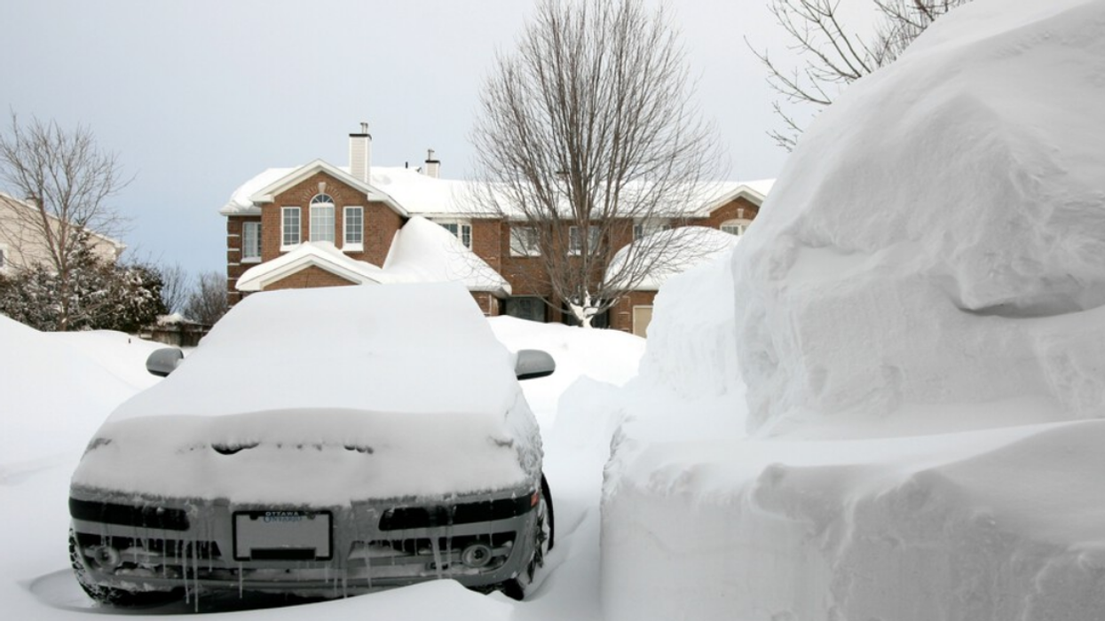
Car covered in snow in Ontario.
Ontario's weather forecast is calling for a winter storm across southern Ontario that may wreck your holiday plans.
If you plan on travelling to see family this Christmas weekend, you may find yourself on icy roads and in the middle of a snowstorm this Friday and Christmas Eve.
Environment Canada has issued winter storm, blizzard and rainfall warnings across southern Ontario as a large storm looms over the province with intense winds, potential flash freezes, and heavy snow.
The storm is expected to hit most areas this Friday and last through Saturday, but areas like Algonquin, Bancroft, Bon Echo Park, Barrie, Orillia, Midland, Burk's Falls, Bayfield Inlet, Ottawa, Haliburton, Peterborough, Kawartha Lakes, Prescott and Russell, Renfrew, Pembroke, Barry's Bay, Stirling, Tweed, and South Frontenac can expect the storm to hit Thursday evening.
Most areas can anticipate snowfall totals anywhere from five to 25 centimetres, but a handful of areas are set to experience blizzard conditions of 25 to 50 centimetres of snow.
Dufferin, Innisfil, Grey, Bruce, Huron, Perth, Niagara, Waterloo and Wellington will be hit with a "crippling" blizzard on Friday with wind gusts up to 100 kilometres per hour, frostbite potential, and flash freezes icing the road, according to EC.
While travelling anywhere will come with slippery conditions, officials say these areas will face "dangerous" conditions and that travel is not advised.
Some areas will face wind gusts of up to 120 kilometres per hour, and rain is expected to fall and potentially flash freeze in Belleville, Quinte, Northumberland, Brockville, Leeds, Grenville, Stirling, Tweed and South Frontenac.
If you plan on travelling, "Public Safety Canada encourages everyone to make an emergency plan and get an emergency kit with drinking water, food, medicine, a first-aid kit and a flashlight."
In Toronto, the storm is set to hit Friday morning with a flash freeze, damaging winds and up to 15 centimetres of snow by nightfall. Officials are warning drivers to avoid travelling and to expect "hazardous" conditions.
Peel Regional Police are warning drivers of the potential flash freeze on Friday and advising people to stay home on Friday if they don't need to be out.
"So basically, we're going to get rain at around zero degrees temperature and then it's going to drop below freezing, and all that water from the rain is going to freeze over," said the officer. "The roadway conditions are going to deteriorate fast and rapidly."
"You can go from driving on a wet road to driving literally on a skating rink."
This article's cover image was used for illustrative purposes only.
- Ontario's Winter Weather Forecast May Have Already Ruined Your Christmas Plans ›
- Ontario's Weather Forecast Revealed Which Cities Will Have A White Christmas & It'll Be Magical ›
- Ontario Weather - Narcity - Montréal ›
- Hundreds Of Flights Cancelled By Westjet & Sunwing Due To Winter Storms Across Canada - Narcity ›
- Ontario's Weather Forecast Warns Of 'High Impact' Multi-Day Blizzard & Here's When It Stops - Narcity ›
- Ontario's Winter Forecast Calls For Even More Snow & It's Such A Christmas Movie Vibe (PHOTOS) - Narcity ›
- Ontario's January Weather Forecast Is Out & You’ll Want A Snow Shovel Handy - Narcity ›