Ontario's Weather Forecast Is Predicting A Major Winter Storm & It Could Ruin Your Holiday Plans
Environment Canada issued so many special weather statements.
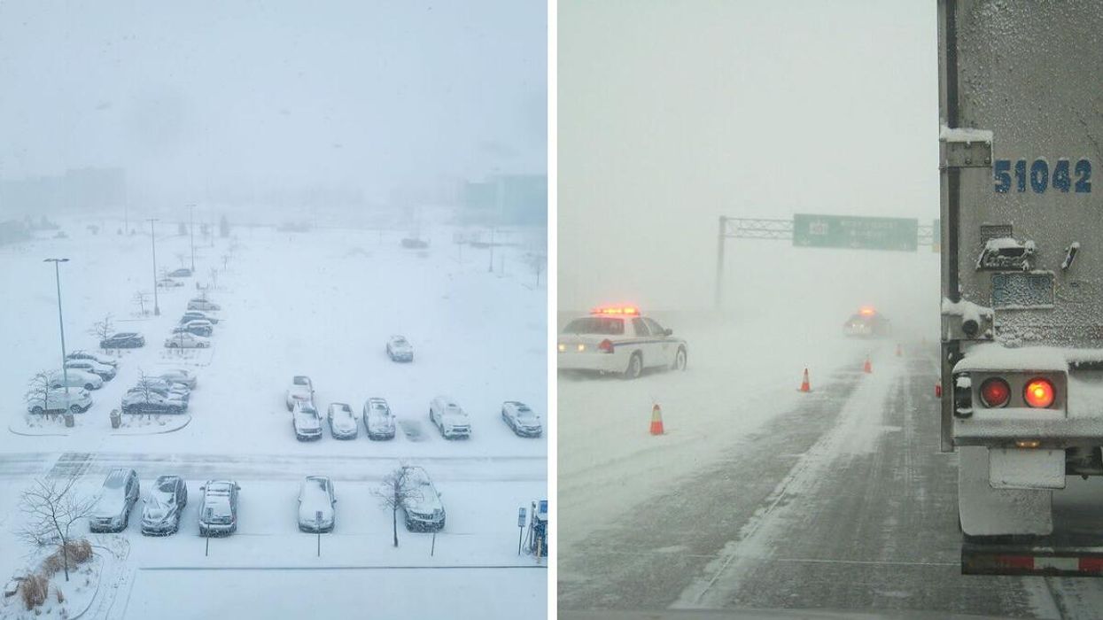
A snow-covered parking lot. Right: A snowy Ontario highway.
A potentially historic winter storm could ruin your holiday travel plans this week, with Ontario's weather forecast expected to include everything from flash freezes to heavy snow on Friday and Saturday.
According to The Weather Network (TWN), the system will bring snowfall as early as Thursday night before transitioning conditions into downpours, thanks to a brief lapse of milder temperatures.
The warm surge could allow for a relatively painless morning commute for drivers on Friday. However, temperatures are expected to drop as much as 15 degrees as the day progresses. The shift will lead to a flash freeze, making conditions dangerous for those planning to travel during the evening.
The hazardous conditions have led Environment Canada (EC) to issue special weather statements for most of Ontario, which also warns residents to be prepared for outages and some of the coldest temperatures of the season.
"Rapidly falling temperatures will be accompanied by strong to potentially damaging winds along with snow that may be heavy at times," EC warns. "Blizzard conditions are possible late Friday into the weekend for areas downwind of Lake Huron and Georgian Bay."
"Consider altering plans through the holiday weekend as travel conditions may become dangerous," it adds. "Extensive utility outages are possible. Temperatures Friday night into the weekend will likely be the coldest of the season to date."
TWN reports that conditions such as strong winds and lake-effect snow will push through Christmas Eve and Christmas Day, particularly for areas east of the Great Lakes, Niagara and Muskoka regions.
Anyone not confident driving in the winter may want to move their travel plans forward in the week to avoid getting caught in the worst of it.
This article's cover image was used for illustrative purposes only.
- Ontario's Weather Forecast Revealed Which Cities Will Have A White Christmas & It'll Be Magical ›
- Ontario's Weather Forecast Calls For A 'Major Winter Storm' This Week & It'll Be No Fun ›
- Ontario Weather - Narcity - Montréal ›
- Ontario's Winter Storm Will Bring 50 cm Of Snow To Some Spots & It Could Ruin Your Christmas - Narcity ›
- A 3,000-km Winter Storm Is Bringing A Weather Bomb, Snow & Ice To Canada Just Before Christmas - Narcity ›
- A Bunch Of GTA Schools Are Starting Christmas Break Early Due To Tomorrow's Snow Storm - Narcity ›