A 3,000-km Winter Storm Is Bringing A Weather Bomb, Snow & Ice To Canada Just Before Christmas
This storm is expected to impact 25 million people in Canada! ❄️
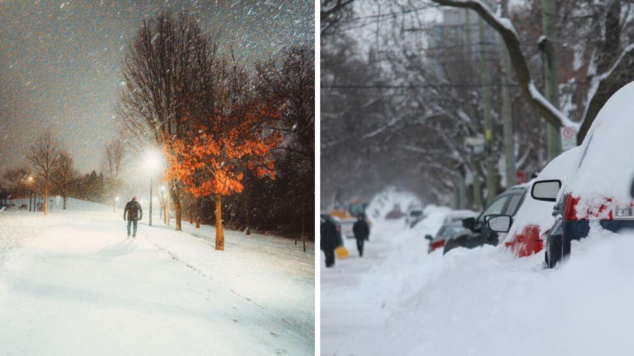
Person walking during a snowstorm in Toronto. Right: People digging out cars after a snowstorm in Montreal.
Canada's weather is being impacted by a 3,000-kilometre winter storm bringing a weather bomb, snow, rain and ice just before Christmas.
The Weather Network has released a forecast for this massive winter storm that will stretch across North America from the Gulf of Mexico to James Bay and affect millions of people.
It will bring rain, snow, ice and potentially damaging winds across both the U.S. and Canada and a swath of heavy snow is expected to blanket Ontario and Quebec.
From Thursday, December 22, to Sunday, December 25, around 25 million people in Canada — from Ontario all the way to Atlantic Canada — will be impacted by this storm.
According to The Weather Network, people should prepare for "extremely dangerous" driving conditions, power outages, road closures and flight cancellations and delays.
This storm is the result of a surge of Arctic air diving south from Canada to the Gulf of Mexico and clashing with subtropical warmth and moisture in the U.S.
That will even lead to a weather bomb over the Great Lakes which is something that typically happens in Atlantic Canada.
A weather bomb is a low-pressure system that rapidly deepens its central minimum pressure during a short period of time. The quick intensification can cause winter storms to produce strong winds and heavy snowfall rates.
With this 3,000-kilometre system, active weather in Ontario and Quebec will start on Thursday afternoon with rain across the region, The Weather Network forecasted.
Rain will continue to fall until the cold front arrives on Friday morning, bringing ice and snow with it.
When the winter storm hits Ontario, Snowbelt regions are expected to get up to 50 centimetres of snow while the Greater Toronto Area should get between 5 and 15 centimetres.
Environment Canada has issued special weather statements for Ontario, Quebec, New Brunswick, P.E.I., Nova Scotia and Newfoundland and Labrador ahead of the storm.
"Consider altering plans through the holiday weekend as travel conditions may become dangerous," Environment Canada said in the Ontario alert. "Extensive utility outages are possible. Temperatures Friday night into the weekend will likely be the coldest of the season to date."
This article's cover image was used for illustrative purposes only.