An 80-Hour Snowstorm Is Hitting Parts Of Canada & Up To 50 cm Of Snow Could Come Down
A major weather system is stalling over the country and dropping so much snow! ❄️
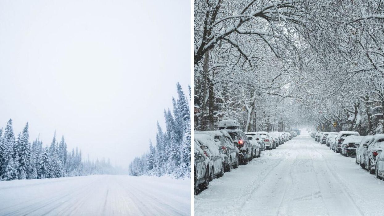
Tree-lined road covered in snow during a snowstorm. Right: Cars buried under snow on a street in Montreal.
Canada's weather is being taken over by a massive 80-hour snowstorm that's stalling over the country and bringing up to 50 centimetres of snow!
An updated forecast from The Weather Network said a Colorado low is impacting Canada with extended heavy snowfall that could last for more than 80 hours and stretch over 1,000 kilometres from Saskatchewan to Ontario.
Snow started falling in southwestern Manitoba late on Tuesday, December 13 and most areas woke up to accumulation by morning on Wednesday, December 14.
The winter storm will last so long because it will stall and then stretch over Saskatchewan, Manitoba and Ontario, dropping 15 to 25 centimetres of snow with higher amounts near the Canada-U.S. border.
Localized snowfall totals could reach up to 50 centimetres, especially in northwestern Ontario near Thunder Bay, through Friday, December 16!
According to The Weather Network, "a combination of a highly amplified jet stream and blocking pattern in the atmosphere is what is causing this low to move so slowly."
Also, a front coming in from Alberta and Saskatchewan is interacting with the Colorado low which is adding more moisture and snow to the system.
It's possible that brief bursts of heavy snow could come down during the storm and this combined with gusty winds at times, could reduce visibility on the roads.
Environment Canada has issued warnings, special weather statements and weather advisories for southern parts of Saskatchewan, Manitoba and northern parts of Ontario.
Then, the Colorado low is set to bring winter weather to southern Ontario and Quebec, dropping everything from heavy snow to freezing rain and ice.
The storm will start with rain in Ontario late on Wednesday, December 14, and then transition to freezing rain and snow on Thursday, December 15.
Environment Canada has also put special weather statements into effect for southern Ontario and Quebec, as up to 25 centimetres are expected in some areas.
Also, The Weather Network has forecast that "extremely frigid temperatures" will seep into western Canada over the weekend and then spread east in the days before Christmas.
Temperatures will be "dangerously cold," with daytime highs around -20 C and wind chills between -30 C and -40 C!
This article's cover image was used for illustrative purposes only.
- Canada's New Winter Forecast Predicts A 'Frigid' Start To The Season Thanks To A Polar Vortex ›
- Canada's New White Christmas Forecast Is Out & Here's Where Snow Will Come Down ›
- Canada's Winter Weather Records Include The Biggest Single-Day Snowfall & -91 C Wind Chill ›
- A Snow Storm Is Rolling Through Ontario Right Now & The Photos Look Like Winter Never Ended - Narcity ›