Ontario's Winter Forecast Calls For Even More Snow & It's Such A Christmas Movie Vibe (PHOTOS)
Some spots could get up to 75 centimetres.
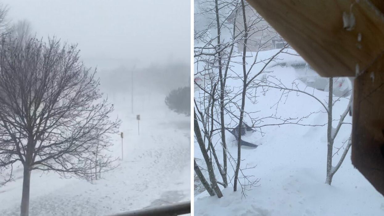
The snowstorm that hit Ontario.
Ontario has turned into a beautiful winter wonderland after a snowstorm hit the province and covered it in white just in time for Christmas.
But the snowstorm hasn't quite ended because there's still more snow to come, with some spots in Ontario looking at up to 75 centimetres of accumulation by the end of the weekend, according to The Weather Network (TWN).
"Regions caught beneath the Huron and Georgian Bay snow squalls could see 50-75 cm of snow by the end of the weekend, with totals of 20-40 cm possible away from the lakes as the bands meander inland," TWN stated.
However, those living in the Greater Toronto Area (GTA) would probably like to know that the worst part of the snowfall has come and passed. Nevertheless, people travelling out of the GTA should be cautious because you may "likely have to deal with dangerous conditions Saturday," TWN notes.
According to Hydro One's power outage maps, thousands remain without power on Saturday morning as a result of the storm.
"Hydro One crews continue to battle through the fierce winter storm to restore power to our customers. High winds, blowing snow and blizzard-like conditions persist across the province, causing additional outages," they mentioned.
Environment Canada (EC) still has a bunch of weather warnings in place for much of southern Ontario. Warnings include snowsqualls, winter storms and blizzards.
Areas with a blizzard warning should be cautious of wind gusts given that the combination of wind and snowfall can cause whiteout conditions.
"Visibility will be suddenly reduced to near zero at times in heavy snow and blowing snow. If visibility is reduced while driving, slow down, watch for tail lights ahead and be prepared to stop," EC warns.
"Blizzard conditions with wind gusts of 90 to 100 km/h. Utility outages are possible," the agency adds.
Areas under a blizzard warning include:
- Barrie - Orillia - Midland
- Brockville - Leeds and Grenville
- Cornwall - Morrisburg
- Dufferin - Innisfil
- Dunnville - Caledonia - Haldimand
- Grey - Bruce
- Huron - Perth
- Kingston - Prince Edward
- Niagara
- Parry Sound - Muskoka
- Waterloo - Wellington
Will it still snow on Christmas in Ontario?
For most of Ontario, the intensity of the snowstorm will loosen. "As the storm lifts north and east out of the province, conditions overall will improve for most of the larger municipalities," TWN reports.
However, "snow squalls will remain a threat for the snowbelts and some communities near Lakes Erie and Ontario. This lake-effect snow could meander and push through southern Ontario at times through the day Sunday."
So, hopefully, you'll be able to enjoy some of the snow on Christmas day and build a snowman!