Ontario's Weather Forecast Is Calling For Another Nasty Snow Storm Monday With Ice & Wind
Don’t put your boots away yet!
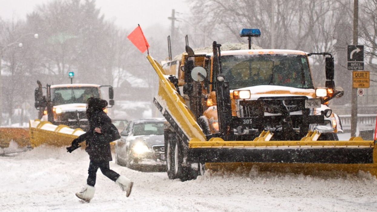
Person walking across snowy street.
Ontario's weather forecast is calling for another snowstorm this week, and it's going to get messy.
The snowstorm is set to hit Ontario on Monday, and bring a bundle of snow, winds, and ice, so you'll want to keep your boots and a bag of salt handy.
Environment Canada has put out special weather statements across southern Ontario warning residents that the storm will likely start with snow Monday afternoon or early evening before turning into ice pellets or freezing rain.
If that wasn't enough nastiness for you, EC also predicts possible power outages, with wind gusts up to 70 kilometres per hour Monday evening.
@narcitytoronto Winter isn’t over yet! Ontario is getting hit with another winter storm and some places could get up to 15 centimetres of snow and Narcity’s Brooke Houghton had the details. #ontariocanada #ontarioweather #winterstorm #toronto
The Weather Network (TWN) says the storm will be similar to last week's and that residents will see "widespread snow, ice, and rain arrive Monday evening and last into Tuesday for some areas."
At 5 p.m. Monday, TWN predicts snow will fall on the northern side of the system in areas like Toronto, Hamilton and Niagara Falls, while ice and freezing rain hits areas like Sarnia, London and Kincardine, and rain takes over Windsor.
Although there will be more than enough ice to go around as warmer air moves in.
TWN says the storm will transition into "ice pellets and patchy freezing rain southwest of the Greater Toronto Area," but not after the area gets 5 to 10 centimetres of snow.
TWN reports that cottage country could see up to 10 centimetres of snow, while Ottawa could get a hefty 15 centimetres of snow through Monday and Tuesday.
EC and TWN both warn of icy roads and a rough commute Monday night, so you may want to plan ahead for traffic or just stay home.
This article's cover image was used for illustrative purposes only.
- Ontario's Weather Forecast Shows A 'Dangerous' Ice Storm This Week & Here's When It's Coming ›
- Ontario's February Weather Forecast Calls For More Arctic Vibes & Here's What To Expect ›
- Ontario Weather - Narcity - Montréal ›
- Ontario's Weather Forecast Calls For A Winter Storm With Up To 15 CM Of Snow & Ice Pellets - Narcity ›