Ontario's Weather Forecast Shows A 'Dangerous' Ice Storm This Week & Here's When It's Coming
It looks like a nasty combination of snow and ice pellets. 🥶
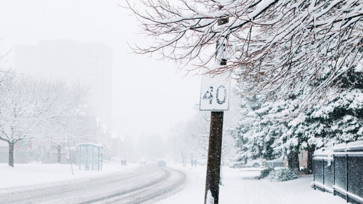
A snow storm in Toronto, Ontario.
It's been a warm month of February, but Ontario's weather forecast is about to step back into much more familiar territory with the threat of a major winter storm this week.
The weather in Ontario is expected to shift from sunshine and above-freezing temperatures to snow, ice pellets, and the potential for some downright dangerous conditions.
Environment Canada (EC) has already issued winter storm warnings across southern Ontario.
"A Colorado low is expected to bring a wintry mix of snow and ice pellets to much of southern Ontario," their alert said, while it also warned of possibly hazardous travel conditions due to reduced visibility. "There may be a significant impact on rush hour traffic in urban areas."
The combination of snow, ice pellets, and potentially even freezing rain is set to move across southern Ontario starting on Wednesday evening and carry on into Thursday morning.
The Weather Network (TWN) has said this storm will be "highly disruptive," and could cause power outages.
"Parts of Ontario are expected to see a dangerous, wintry mix of ice, freezing rain, and snow starting on Wednesday," said TWN in its most recent update on this storm.
TWN has said the GTA could be in for some of the worst of these ice pellets, with up to "10 hours" of that precipitation between periods of snow and possibly freezing rain.
Areas further north will see much more snowfall, with up to 20 centimetres possible, according to TWN.
This system will mostly start with light snow in places like London, Ontario early Wednesday before conditions are expected to worsen.
If the storm timeline is correct, it looks like the Thursday morning commute is one you might want to avoid, if you can.
While officials have said the timing of such a nasty storm can be hard to predict, TWN said conditions will likely die down on Thursday evening before the storm moves out by Friday.
Looking past this storm, it seems Ontario is set to settle back into more seasonal conditions, so it might be time to say goodbye to some of these warmer temperatures for now.
This article's cover image was used for illustrative purposes only.
- Ontario's February Weather Forecast Calls For More Arctic Vibes & Here's What To Expect ›
- Ontario's Weather Forecast Calls For Extreme Warmth This Week Like Summer Has Come Early ›
- Environment Canada Has Issued Warnings For 7 Provinces Because Of Extreme Cold & Winter Storms - Narcity ›
- Ontario's Weather Could Pelt People With Ice Today & You Might Want To Stay Indoors - Narcity ›
- Ontario's Weather Forecast Is Calling For Another Nasty Snow Storm Monday With Ice & Wind - Narcity ›