Ontario's Winter Storm Turned The Province Into An Arctic Tundra & It's Not Over Yet (VIDEOS)
More snow is on the way. ❄️
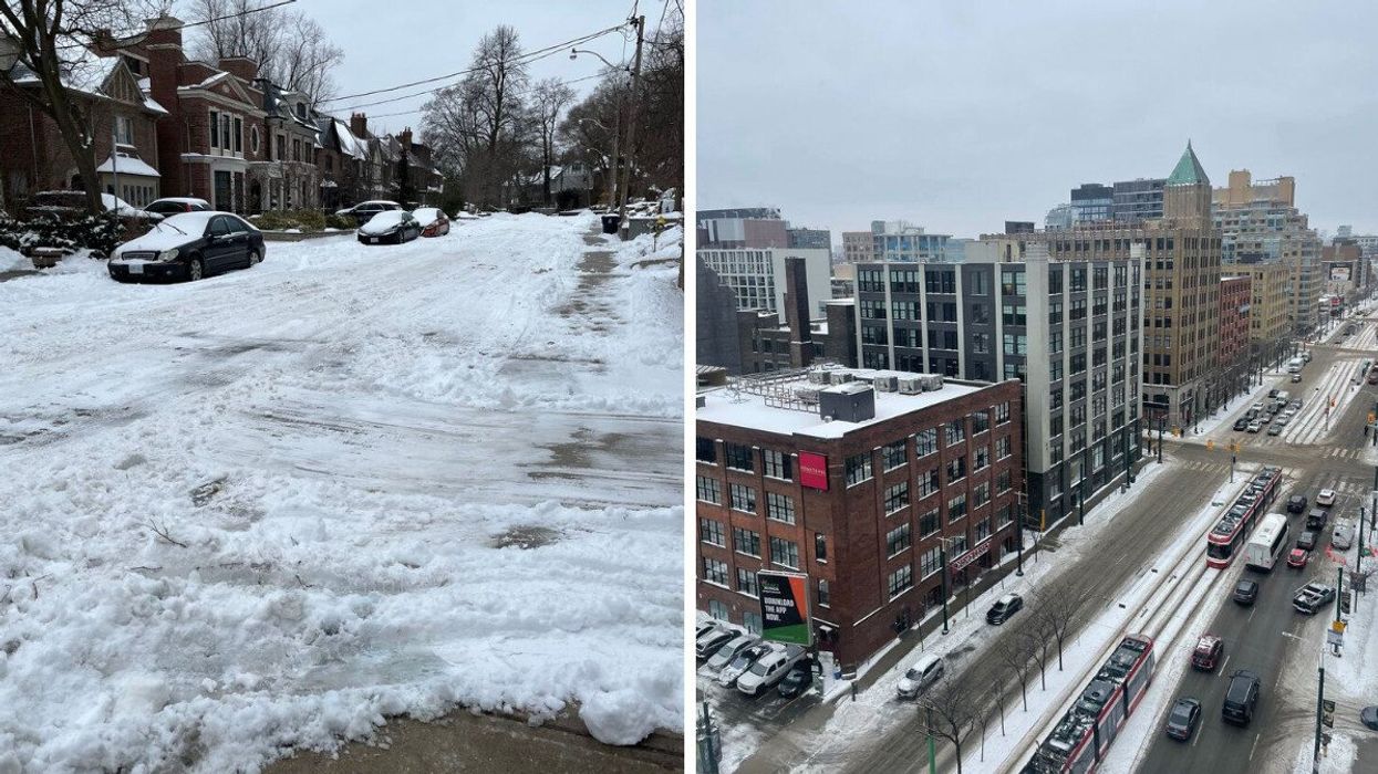
A Toronto street in covered in show. Right A birds view of a snowy Ontario city.
The latest Ontario winter storm had drivers struggling to overcome the snow on Wednesday evening as a powerful low-pressure system swept through southern parts of the province.
According to The Weather Network (TWN), travel conditions quickly deteriorated as cities were hit with bouts of heavy snow, freezing rain and ice pellets.
Toronto's weather was among the most heavily affected, with parts of the GTA accumulating 10 to 20 centimetres of snow and ice by Thursday morning.
Several regions suspended their bus services in response, with the Halton district going as far as to declare school closures.
Pearson International Airport also announced the cancellations of several flights.
Roads with significant inclines become problematic in Toronto, leaving drivers stranded and sliding downwards as conditions worsened on Wednesday.
Thankfully, residents are expected to get a brief break from the wintry conditions heading into the weekend. However, forecasters are already monitoring a similar system, which is set to make landfall early next week.
The incoming storm will bring significant amounts of snow, ice, and possibly rain into the GTA and the Niagara area by Monday next week.
Northern and eastern areas, including cottage country, will face the biggest snow threat, with some areas on track to receive up to 20 centimetres of accumulation.
Overall, the first week of March won't be a total wintry mess, with temperatures expected to reach typical highs for the month.
However, another colder weather pattern could return to cause chaos during the second and third weeks of March.
So, residents will want to keep a close eye on their forecasts going forward and be prepared to suspend or rework travel plans next week.
- These Pearson Airport Flights Have Been Cancelled As Ontario Faces A Major Winter Storm ›
- Ontario's Winter Weather Forecast Was Just Revealed & Here's When To Expect Heavy Snow ›
- Ontario's Winter Weather Forecast Says This Is When The Coldest & Snowiest Periods Will Be ›
- Ontario's Weather Forecast Calls For A 'Swath Of Snow' & It Could Affect Your March Break - Narcity ›