Ontario's Weather Forecast Calls For A 'Swath Of Snow' & It Could Affect Your March Break
Winter is here to stay 🌨️.
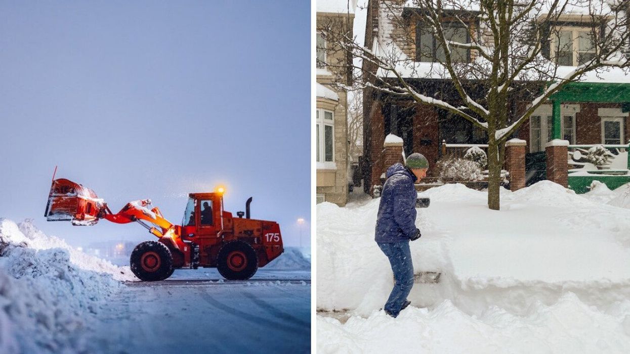
A snow plow at Toronto Pearson. Right: A man shovelling snow
A "swath of snow" is set to invade Ontario's weather forecast on Thursday, and the wintry chaos could affect your March Break.
According to The Weather Network (TWN), the flurries will arrive overnight on Thursday and stick around long enough to affect drivers' Friday morning commute.
The system will pale in comparison to the thundersnow that Greater Toronto Area (GTA) residents saw last weekend. However, the region is on track to record notable accumulation levels on Friday.
Southwest regions of the province are expected to be hit hardest, receiving 10 to 15 centimetres ahead of the weekend.
However, easterly winds could also bring a troubling amount of snow across Burlington and Grimsby via lake enhancement.
According to the National Weather Service, lake-effect snow occurs when cold air pushes across the open waters of the Great Lakes, creating a narrow band that can produce up to 3 inches of accumulation per hour.
3 to 5 centimetres of snow is expected throughout the GTA on Friday, with the west end likely to record slightly higher levels of accumulation.
"Regardless of total amounts, this system will have some impact on those who will be driving south for the start of March Break," TWN reports.
Snowfall is predicted to end by Friday evening. However, light flurries may persist until Saturday morning.
Those sticking around for March Break will want to bundle up this year as an incoming system is anticipated to plummet temperatures next week.
In conclusion, those with travel plans for the break will want to give themselves extra time if driving and brace for flight disruptions if flying.
This article's cover image was used for illustrative purposes only.