Keep your eyes to the sky today. Ontario’s weather forecast is going to be a chaotic mess this week, with residents facing the potential for both tornadoes and frost. This Wednesday, the province can even expect to get hit with strong winds and heavy rain.
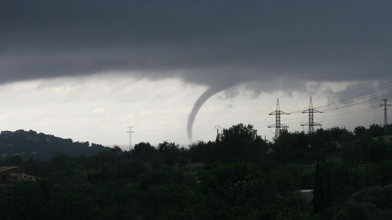
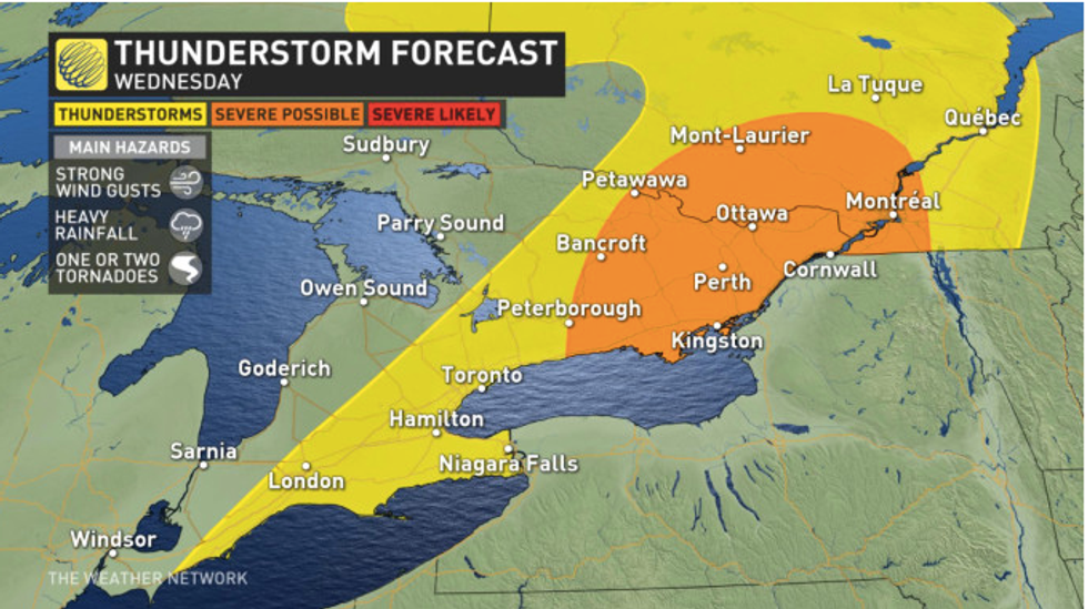
According to The Weather Network, eastern Ontario is at risk for some severe thunderstorms today, with possible tornado development expected in the afternoon.
Areas in the Ottawa Valley are the most likely to see this harsh weather.
However, the GTA is still expected to get hit with some thunderstorms as well.
You’re not going to want to bundle up too much for the rain though, because it’s going to be a hot one.
Editor's Choice: Canada's Set To Suffer Through An Extra Cold & Snowy Winter This Year (VIDEO)
Ottawa is going to reach a daytime high of 24 C. However, humidex levels are going to make it feel more like 31 C.
Environment Canada has issued a special weather statement for parts of Ontario on Wednesday morning, including Fort Hope and Greater Sudbury.
 The Weather Network
"Rain at times heavy expected tonight into Thursday. Hazard: Thunderstorms with heavy rain producing local amounts near 50 mm," it reads.
However, you might want to think about pulling out a jacket for the rest of the week.
Despite the province’s tropical return to heat and humidity mid-week, things will cool down by Friday.
“Friday sees a cold front descend through the province, bringing temperatures back down and sweeping away the humidity, setting the stage for a cool start to the Labour Day long weekend, with daytime highs in the low 20s,” TWN states.
The sudden change in weather patterns will bring a quick end to the summer in northern parts of Ontario, where the first frosts are expected to set in next week.
NOW WATCH Canada's Set To Suffer Through An Extra Cold & Snowy Winter This Year
- Ontario Weather Forecast Calls For Smoky Skies & Thunderstorms - Narcity ›
- Ontario's Weather Forecast Calls For Huge Hail & Tornadoes - Narcity ›
- Severe Thunderstorm In Parry Sound Rips Trees From Their Roots - Narcity ›
- Ontario's Long Weekend Weather Will Feel Like Fall - Narcity ›
- Ontario's Weather Forecast Warns Of Intense Storms This Week - Narcity ›
- Ontario's Weather Forecast Is Going To Be A Cold & Soggy Mess This Week - Narcity ›
- Ontario Winter Weather Forecast Was Just Revealed & It's Going To Be Surprisingly Warm - Narcity ›