Ontario's Weather Forecast Predicts A 'Cluster' Of Thunderstorms Today & It'll Be Chaotic
It's going to be a spooky evening.

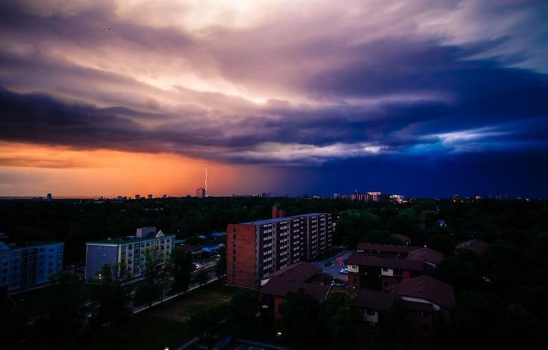
A storm brewing over Toronto.
Ontarians, don't let the Monday morning sunshine fool you. Things are about to get chaotic.
According to The Weather Network, southwestern parts of the province will be hit by a mesoscale convective system (MCS), which is basically a fancy way of describing a cluster of organized thunderstorms.
The stormy conditions will likely arrive during the overnight hours as the systems track through the U.S. Midwest.
"The MCS is a conditional threat that depends on the timing of a disturbance as it rounds the ridge of high pressure responsible for extreme heat across much of the continental U.S.," TWN reports.
"The main threats include damaging winds, torrential rain, and small hail if the convective system swipes southern Ontario," adds Tyler Hamilton, a TWN meteorologist.
At the moment, the exact timing and strength of the weather conditions remain up in the air. However, if the system does track into Ontario, areas such as London, Windsor and Sarnia could see rain and severe storms by the pre-dawn hours of Tuesday.
As for what the rest of the week will hold? Well, let's just say it's going to get sweaty.
Above-seasonal temperatures are set to dominate this week, with daytime temperatures rocketing into the upper 20s and near 30s in some areas.
In fact, things will be so humid this week that temperatures will feel closer to 40 degrees in areas such as Windsor and London.
So, depending on your feelings for heat, you'll definitely want to slather on the sunscreen or crank up your AC.
This article's cover image was used for illustrative purposes only.