Ontario's Weather Forecast Says A 'Swath Of Heavy Snow' Could Ruin Your March Break Plans
A "major winter storm" is headed this way. 🥶❄️
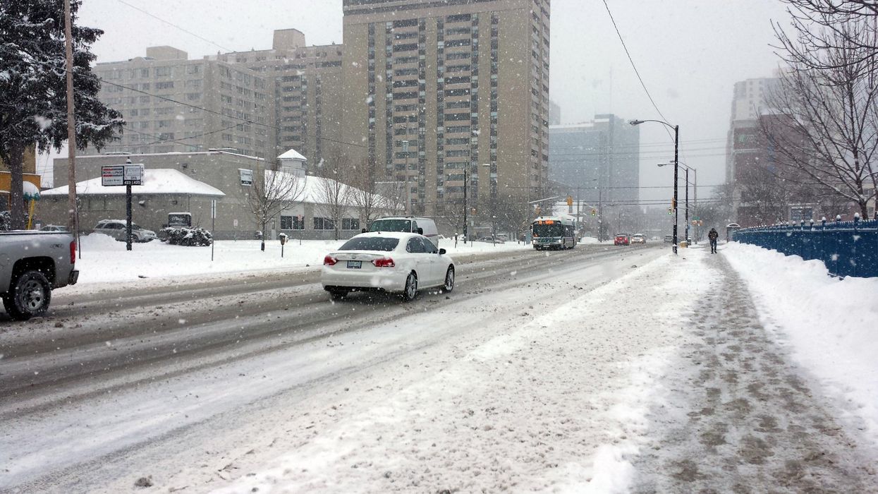
A snowy street in Ontario.
An incoming winter storm could make things really difficult for Ontarians hoping to embark on their March Break travel plans this weekend.
According to The Weather Network, the "major storm system" will sweep through parts of the province, with a chance for significant snowfall to disrupt spring vacationers.
Pearson Airport has already warned travellers that delays are possible with March 11 set to mark the busiest travel day at the airport since the beginning of the COVID-19 pandemic two years ago. Approximately 85,000 passengers are expected to arrive or depart on Friday — so crappy weather will only make things worse.
The storm's first impact will reach southern Ontario by Friday, bringing "widespread light flurries." However, the dusting won't last long as the central system will arrive shortly afterward, bringing heavy snowfall throughout Saturday.
Matt Grinter, TWN meteorologist said the track of the storm is starting to become more clear, and currently shows "the heaviest swath of snow will be more focused in parts of eastern Ontario."
A pattern of strong winds is also set to develop by Saturday afternoon, creating whiteout conditions and ensuring motorists have a difficult time travelling.
"What we will have to keep an eye on is a slight shift in the track of the low," Grinter adds. "A slight shift west could bring higher amounts of snow through the Niagara region as well for areas along the St. Lawrence River."
At the moment, it looks like the Greater Toronto Area will dodge the worst of conditions, but that's no reason to celebrate, as things are still predicted to be snowy and bitterly cold.
This article's cover image was used for illustrative purposes only.