Ontario’s Weather Will Bring Up To 15 cm Of Snow To These Spots, So Get Your Shovels Ready
Can it please be spring now?
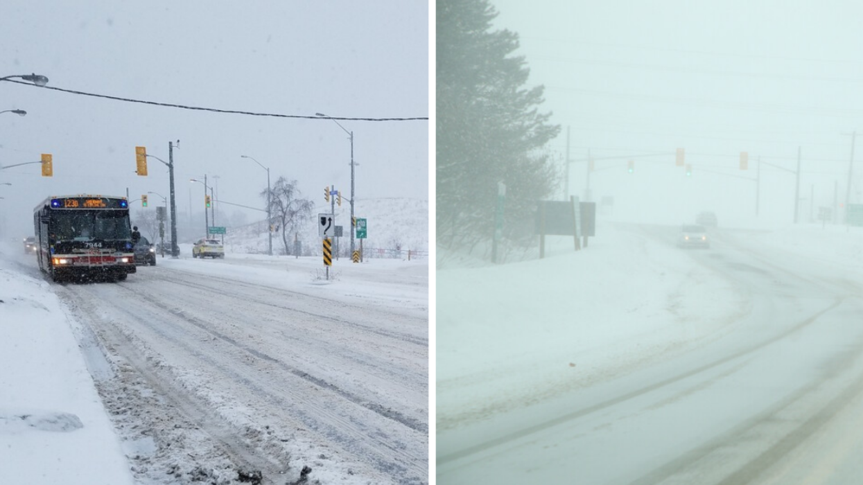
Ontario roads covered in snow.
It's almost time for spring in Ontario, but it seems like Mother Nature may not have gotten the memo.
Environment Canada is warning areas across Ontario that snow is on its way and may impact travel conditions today and into the weekend. So your March break plans may be at risk.
Environment Canada has put 10 winter weather travel advisories in place for southern Ontario, and some areas can expect anywhere from 5 to 15 centimetres of snow, with snowfall starting "late this afternoon" and continuing into Saturday morning.
So if you're planning a Friday night out followed by a Saturday brunch, you may want to trade out your heels or sneakers for a pair of sturdy snow boots.
Heavier snowfall of 7 to 15 centimetres can be expected in Prescott and Russell, Cornwall-Morrisburg, Stirling-Tweed-South Frontenac, Kingston-Prince Edward and Brockville-Leeds-Grenville.
Impacted areas expecting slightly lighter snowfall ranging from 5 to 12 centimetres include Ottawa, Niagara, Belleville-Quinte-Northumberland, Dunnville-Caledonia-Haldimand, and Smiths Falls-Lanark-Sharbot Lake.
According to The Weather Network, Toronto can expect about 5 centimetres of snow through Saturday.
Environment Canada warns that "surfaces such as highways, roads, walkways and parking lots may become difficult to navigate due to accumulating snow" and asks those who brave the conditions to "take extra care when walking or driving in affected areas."
Reduced visibility may also be an issue thanks to the snow, and drivers are asked to turn on their lights and "maintain a safe following distance" if things get blurry out there.
This article's cover image was used for illustrative purposes only.