Please complete your profile to unlock commenting and other important features.

Please select your date of birth for special perks on your birthday. Your username will be your unique profile link and will be publicly used in comments.
Narcity Pro

This is a Pro feature.

Time to level up your local game with Narcity Pro.

Pro

$5/month

$40/year

  • Everything in the Free plan
  • Ad-free reading and browsing
  • Unlimited access to all content including AI summaries
  • Directly support our local and national reporting and become a Patron
  • Cancel anytime.
For Pro members only Pro
Summary

A Canadian City Has Gotten Over 300 cm Of Snow This Winter & There's Even More On The Way

Spring can't come fast enough, eh?
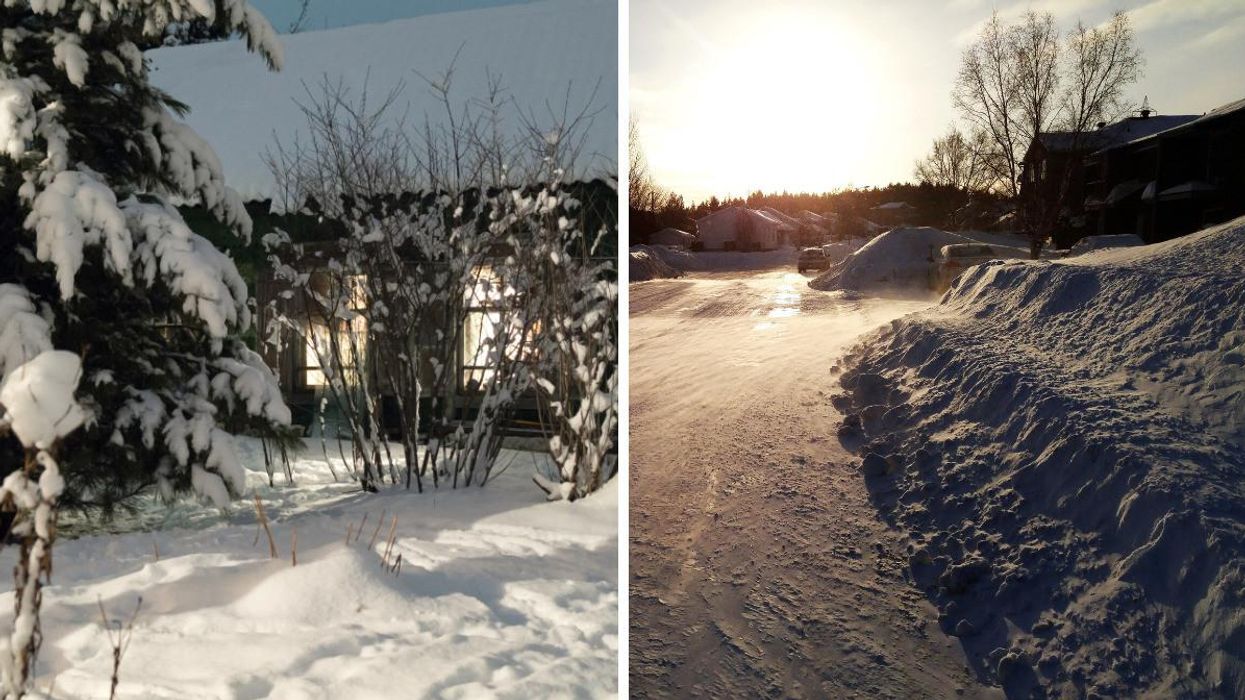
Senior Writer

It's no secret that Canadian weather can be quite extreme and Canada's winter has seen one city get more than 300 centimetres of snow, with even more on the way!

The Weather Network has revealed that this winter is proving to be even more snowy than normal in Saguenay, Quebec, where 354 centimetres of snow has fallen throughout the winter season so far as of March 8.

Because of this, the 2021-22 season is currently the city's snowiest winter in 25 years. The highest snowfalls were 398 centimetres in the winter season of 1996-97 and 485 centimetres in 1942-43.

"The average snow to date as of March 8 for Saguenay is 246 cm -- putting the city at 140 per cent of its normal snowfall so far," TWN said.

The season isn't even over yet and there is a chance that the 2021-22 total for Saguenay could surpass the total from 1996-97.

The Weather Network is forecasting that a "high-impact storm" will move through Ontario and Quebec from Friday, March 11, to Sunday, March 13.

It's expected that the heaviest bands of snow will be focused on eastern parts of Ontario and southern parts of Quebec that are east of the St. Lawrence River, which is right where Saguenay is located!

The winter season officially ends on March 20, 2022, but that doesn't mean snowy weather will end then too.

According to the spring forecast from the Farmers' Almanac, there's going to be a slow warm-up with a major late-season winter storm and it's being called a "backward spring."

The Weather Network also predicts a "turbulent transition" this spring, with Ontario and Quebec getting more winter-like weather before more consistent spring weather sets in.

So, don't put those shovels away just yet!

  • Senior Writer

    Lisa Belmonte (she/her) is a Senior Writer with Narcity Media. After graduating with a Bachelor of Journalism from Toronto Metropolitan University (formerly Ryerson University), she joined the Narcity team. Lisa covers news and notices from across the country from a Canada-wide perspective. Her early coverage of the COVID-19 pandemic earned Narcity its first-ever national journalism award nomination.

Parts of Ontario are forecast to get more than 30 cm of snow this week

A major snowstorm in the north and lake-effect snow in the south! ❄️

Canada's new winter forecast reveals when the season will be snowiest and coldest

The polar vortex could bring "extreme cold and increased snowfall." ❄️

Ontario's new Costco is opening this week and here's what we know about the unique store

You can find thousands of products that aren't available at regular warehouses!

University of Toronto is hiring for these jobs and you can make up to $177,000 a year

Positions are available at the St. George, Scarborough and Mississauga campuses.

The Canada Workers Benefit is increasing — Here's how much you can get in 2026

Plus, when those quarterly advance payments are coming. 👀

Here's how much Galen Weston Jr. could give every Loblaws shopper — and still be a billionaire

The guy who sold you that $40 steak is worth over $20 billion. 😳