Ontario's Weather Forecast Will Be A Freezing Rain Disaster This Week & Driving Will Suck
Travelling through these areas will be a lot.
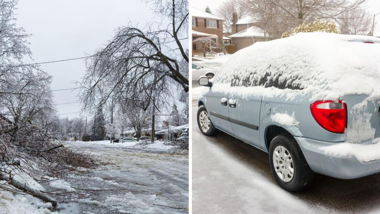
A frozen road in Ontario. Right: A car covered in ice.
If you've been enjoying 2023's remarkably spring-like January, you're not going to like the look of Ontario's weather forecast this week. Spoiler alert! It's going to get cold again.
According to The Weather Network (TWN), the province will see its milder precipitation undercut by cold air on Wednesday, an event that'll turn this week's rainy conditions into snow and ice. As a result, drivers will want to rethink their travel plans.
"Colder air sliding in from the north will undercut the warmer air over eastern Ontario and cottage country, forcing this precipitation to fall as a wintry mix," the report reads.
The return to frigid conditions will put a hard stop to the pattern of "extreme warmth" that the province enjoyed at the start of the week and was expecting to see continue.
Areas expected to be hit hardest by the icy conditions (freezing rain and ice pellets) include Cornwall, Kingston, Bancroft and Ottawa. Parts of cottage country and the northern shores of Lake Ontario will also be affected.
The pelting is predicted to last until Thursday morning, which will see a pattern of colder air filter in and transform the freezing rain into snow for the Greater Toronto Area (GTA), Grey-Bruce region and eastern Ontario.
"The ice accretion from freezing rain could cause travel issues, and possible damage to trees and power lines in the hardest-hit areas," the TWN report adds.
What lies ahead? It looks like a more typical January. The incoming pattern will send temperatures plummeting down to more seasonal levels, with daytime highs expected to float around the freezing mark by next week.
Basically, anyone who's been leaving their home without a coat these past few days will want to stay updated on their local forecast and rethink their boldness.
This article's cover image was used for illustrative purposes only.
- Ontario's 2022 Winter Weather Forecast Is Here & You're Gonna Need A Bigger Snow Shovel ›
- Ontario's January Weather Forecast Is Out & You'll Want A Snow Shovel Handy ›
- Ontario Weather - Narcity - Montréal ›
- Ontario's Weather Will Bring 'Prolonged Freezing Rain' Tomorrow & Warnings Have Been Issued - Narcity ›