Ontario's Weather Will Bring 'Prolonged Freezing Rain' Tomorrow & Warnings Have Been Issued
Avoid travel if you can.
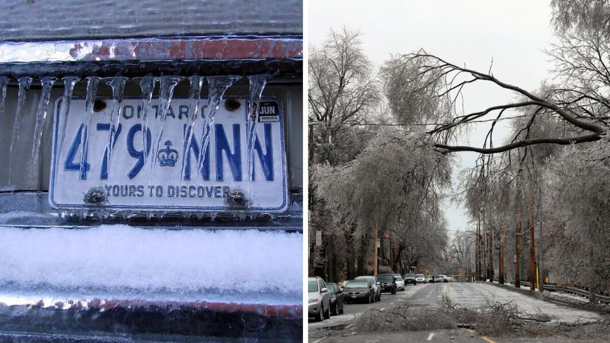
Ontario licence plate in freezing rain. Right: A frozen street.
Ontario's weather will have residents of eastern regions rethinking their travel plans this week due to a "prolonged freezing rain" event set to push through the province on Wednesday and Thursday.
According to The Weather Network (TWN), a "swath of freezing rain" is set to develop over cottage country and eastern regions on Thursday afternoon and evening, with some areas expected to record as much as 10 millimetres of ice accumulation as a result.
The icy conditions are likely to cause travel issues through both Wednesday and Thursday, with a possibility for the most affected areas to experience power outages and tree damage.
TWN experts have yet to predict which regions will be hit hardest by the weather. However, it's worth noting that Environment Canada (EC) has issued already freezing rain warnings for several cities, including the following:
- Kingston
- Ottawa
- Cornwall
- Peterborough
The federal agency warns that drivers in Ottawa could face a lighter pattern of freezing by as early as Wednesday morning, with conditions transitioning into a mixture of snow and ice pellets by Thursday morning.
"It is riding the line between seeing significant snowfall or more of an ice pellet event, depending on how far north the warm air nudges," TWN added in regard to the city.
Thursday is also likely to bring widespread flurries to southern parts of Ontario. So, don't count on being off the hook if you live in the Greater Toronto Area or Niagara region.
"Surfaces such as highways, roads, walkways and parking lots may become icy and slippery," EC cautions. "Take extra care when walking or driving in affected areas. Slow down driving in slippery conditions."
This article's cover image was used for illustrative purposes only.