Toronto's Getting Up To 10 cm Of Snow Today But Warmer Days Are Coming This Week
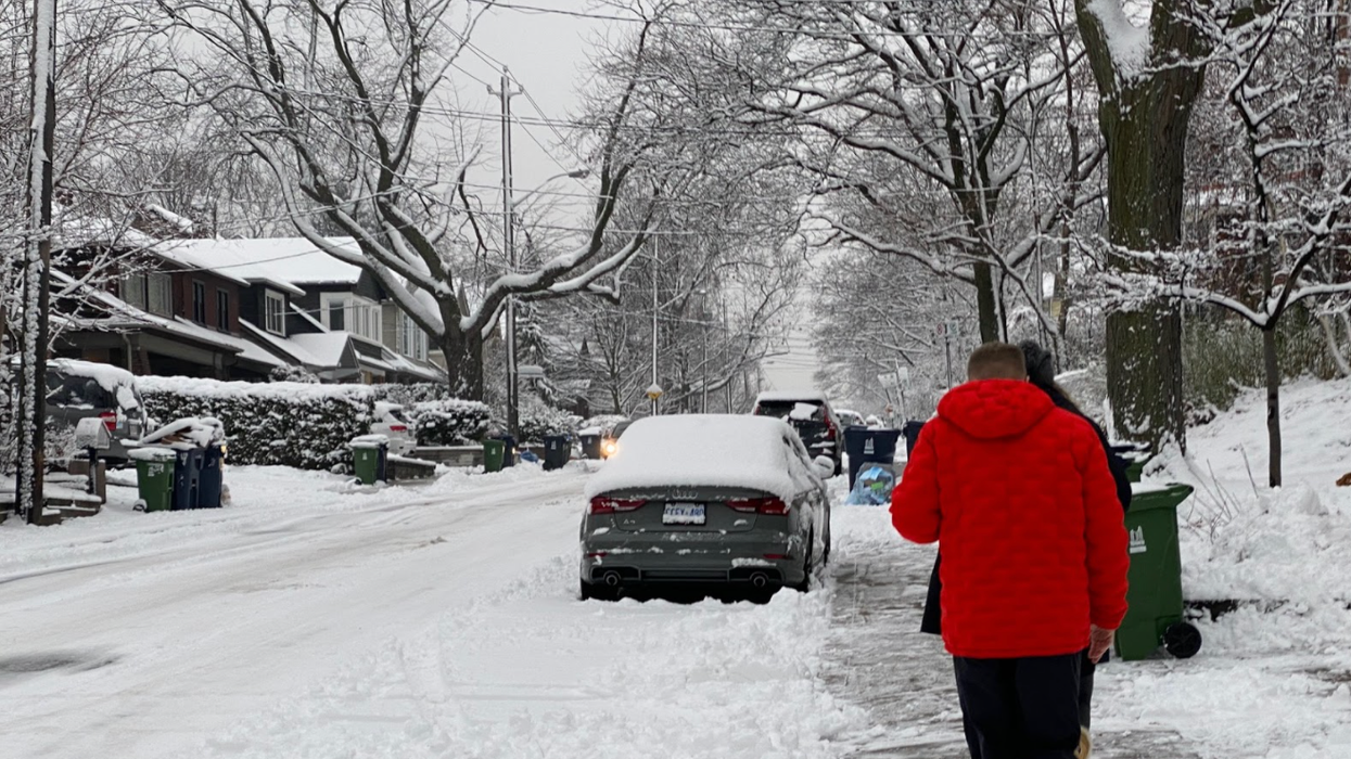
Commuters are being warned of hazardous travel conditions this morning as more snow falls throughout the day, according to Toronto's weather advisory.
Heavy snowfall has already begun in most regions of southern Ontario and anywhere from five to 10 centimetres is expected, although more is not out of the question, says The Weather Network.
Editor's Choice: This Is What One Expert Wishes All Canadians Knew Before Filing Their Taxes
Environment Canada states that Toronto's snowfall will come to an end by Monday afternoon.
However, a weak clipper system could bring a mix of snow and rain to the city on Tuesday, along with above-seasonal temperatures, says The Weather Network.
Their forecast predicts a high of 5 C on Tuesday in Toronto and surrounding regions, and 6 C in southwestern cities like London and Windsor.
The unsettled weather pattern means that milder air will soften snow accumulation in some areas.
Toronto's current seven-day forecast shows that temperatures will cool down again by the end of the work week, followed by 4 C highs on both Saturday and Sunday.
This is a far cry from the extremely cold weather the city experienced last week when wind chill values plunged to -21 C.
Thankfully, Wiarton Willie saw his shadow this year, which means an early start to spring could be in the cards for Ontario.