BC's Weather Forecast Calls For Up To 15 cm Of 'Unseasonable Snowfall' In Some Parts
Yes, it is actually spring.
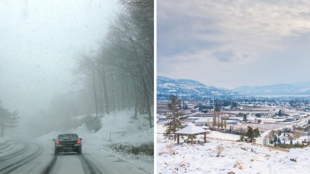
Car driving in a snowstorm. Right: Snowfall in B.C.
As if the weather in B.C. wasn't bad enough already, the forecast is now calling for up to 15 centimetres of snow in some places.
The late-spring snowfall is predicted to hit late on Monday night and last until the morning on Tuesday. Lower elevations should brace themselves for some rain, while the higher elevations are expected to see snow.
Environment Canada issued a snowfall warning for the area of Highway 3 from Paulson Summit to Kootenay Pass, calling for 10 to 15 centimetres of "unseasonable snowfall."
Given that it's the middle of June, "unseasonable" seems like an understatement.
The weather warning also said that a low-pressure system will bring in some rain to the Kootenays.
"As the airmass cools, snow levels will lower to near 1600 metres late this evening, resulting in rain changing to wet snow over higher elevations along Highway 3," the statement added.
Although the Kootenay Pass is expected to get up to 15 centimetres, the snowfall amount will vary depending on the elevation. The snow is expected to turn into rain late Tuesday morning.
It sounds like a total mess, and Environment Canada warned people to be aware of changing road conditions due to the weather.
"Rapidly accumulating snow could make travel difficult over some locations. Visibility may be suddenly reduced at times in heavy snow," said the statement.
Although it is in fact spring, the statement also said to use winter tires and chains to drive in the snowy conditions.
This article's cover image was used for illustrative purposes only.