BC's Weather Forecast Is Calling For Even More Wind After Saturday's 'Rare' Tornado
It's not over yet!
Those living in B.C. might want to brace themselves because even more stormy weather is on the way following a tornado over the weekend.
According to The Weather Network (TWN), more wild weather including intense winds, rain and snowfall is on the way for the province after a "rare" tornado swept through the northern part of the Vancouver area on Saturday, November 6.
TWN forecasts that a "deep low will approach the northern tip of Vancouver Island Monday night, and will generate strong southeast winds ahead of its arrival, beginning Sunday afternoon."
Specifically, on Monday night and Tuesday, Environment Canada predicts that strong winds of up to 110 km/h could hit the west coast of Vancouver Island and northern Vancouver Island. Parts of Metro Vancouver also remain under due to the threat of high winds.
"The exact track and strength of the weather system is still uncertain. Any changes in the evolution of this system can affect the timing and strength of the winds. As the event nears, wind warnings may be issued," Environment Canada said in a statement.
A slew of rain is also forecasted for parts of B.C., with the heaviest rains set to take place Sunday morning and again Monday morning before heading north along the coast during the day.
All in all, TWN predicts that through Tuesday, Metro Vancouver could see rainfall totals of 60 mm.
"The average total for November is 188 mm, meaning it is the wettest month of the year for the city. Areas along the southwestern coast of Vancouver Island could see 100+ mm of rainfall during the same time period," TWN said.
And that's not all — some serious snow is on the way for the North Shore Mountains, which could see 100 cm through Wednesday.
TWN predicts that lower freezing levels across much of B.C. this week could even produce a chance of a rain-snow mix for the Lower Mainland.
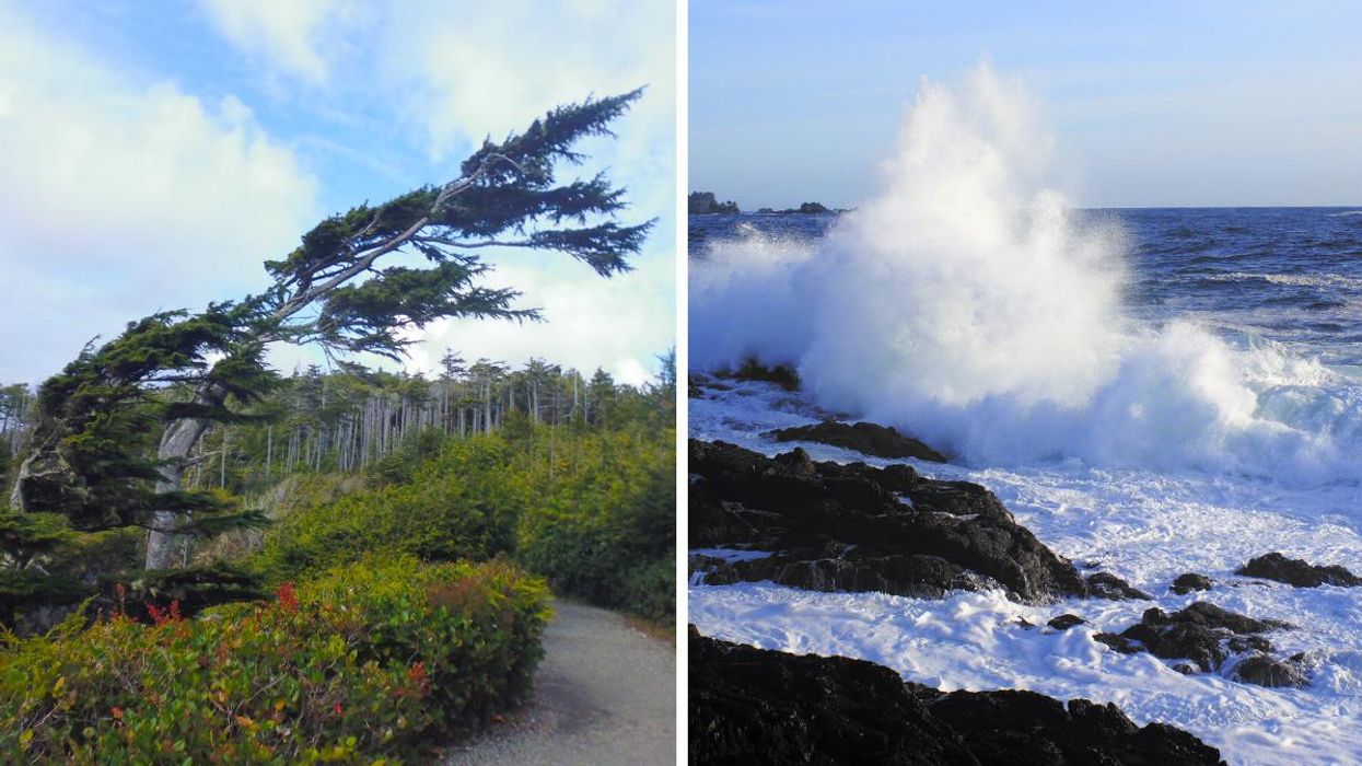
This article's cover image was used for illustrative purposes only.