Canada's February Weather Forecast Calls For More Snowstorms & A 'Temperature Roller-Coaster'
An active storm track from the Great Lakes to Atlantic Canada is going to bring messy systems.
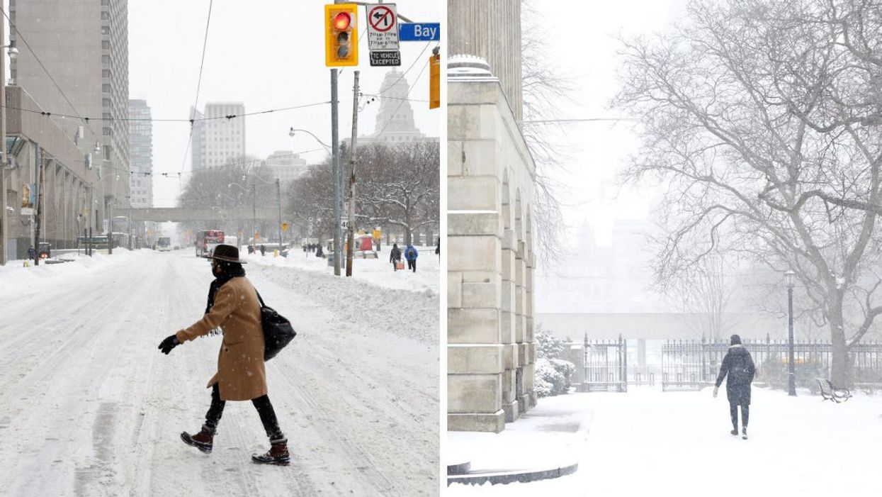
Get ready, because Canada's weather forecast for February has dropped and it looks like we're in for more snowstorms and a "temperature roller-coaster" this month.
The Weather Network released a look ahead at February and Arctic air is moving quickly to bring a return to harsh mid-winter conditions to places that have seen the cold recently, while milder weather is coming back to western Canada.
"Quick changes in the weather pattern, like what we are seeing this week, look to be the theme for the rest of the month of February," The Weather Network said.
Even though warmer weather will try to overtake the pattern across eastern parts of Canada, there will be frequent shots of Arctic air across central Canada that will fight back and try to spread east.
According to the forecast, that battle should lead to an "active pattern" throughout February from the Great Lakes to Atlantic Canada.
There is also the threat of more snowstorms and messy systems that will bring a higher risk for ice and rain.
The Weather Network has already warned of a "long duration snow threat" for parts of Ontario, with snow expected on February 2 and 3.
An active pattern is also expected at times across the Prairies during the month.
The month is set to be a "temperature roller-coaster" for most of the country with temperature flip-flops that will "tip to the cold side of seasonal from the central Prairies to the Great Lakes" and "the warm side of seasonal across B.C., the Yukon and Atlantic Canada."
As we get further into February, The Weather Network said it expects the focus of the coldest weather to slowly shift west.
Then, a warmer pattern is set to establish itself in southern Ontario and Quebec!