Canada's Weather Is Threatened By A 'Pipeline Of Arctic Air' That'll Cause Below-Seasonal Temps
A cross-polar flow is coming down from Siberia! 🥶
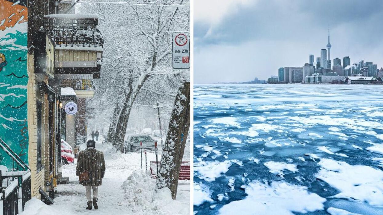
Person walking during a snowstorm in Montreal. Right: Lake Ontario frozen over with Toronto in the background.
Get ready because Canada's weather is being impacted by a "pipeline of arctic air" that will bring below-seasonal temperatures across the country!
The Weather Network has forecast that almost the entire country will have to deal with an icy chill because of building high pressure that will open the door for freezing arctic air.
Apparently, there is an unusual situation happening with the weather right now as a northward bulge in the jet stream is approaching the North Pole by Thursday, November 17.
The ridge of high pressure extends from Alaska to B.C. and then all the way down to California.
According to The Weather Network, this pattern is like forgetting to shut the front door of your house in the winter.
Since the ridge is so "amplified," most of Canada is being threatened by "a direct pipeline of arctic air" in the next few weeks.
The coldest air in the Northern Hemisphere is currently over Siberia but it will soon drift toward Canada and spread across the country.
A cross-polar flow will come down over Nunavut and Manitoba on Friday, November 18 before stretching all over the country, even dipping into the U.S.
Throughout November, it's expected that this frigid air will continually push south over central and eastern parts of Canada, causing below-seasonal weather.
While it's going to be chilly, this blast of arctic air probably won't be enough to break some of Canada's winter weather records for cold temperatures!
Those include the coldest-ever temperatures in Ontario at -45 C, record-breaking windchill in Northwest Territories that made it feel like -91 C and the coldest temperature in North America at -63 C in Yukon!
What is Canada's winter weather forecast?
The Farmers' Almanac winter forecast for Canada has predicted cold temperatures and intense storms across the country.
Temperatures are expected to dip down to -40 C in eastern parts of the country in January and a storm in February could drop up to 60 centimetres of snow in Ontario, Quebec and Atlantic Canada.
Canada's winter forecast from the Old Farmer's Almanac called for "surprise shots of extra-deep cold" along with major snowstorms in the east.
The Weather Network's winter forecast predicted that a major pattern shift will bring widespread colder-than-normal temperatures to Canada and "a quicker start to winter" than usual.