Ontario Is In For 'Intense' Snow Squalls With 30-60 cm Possible & Temperatures In The -20s C
The snow could lead to dangerous travel in some areas. ❄️
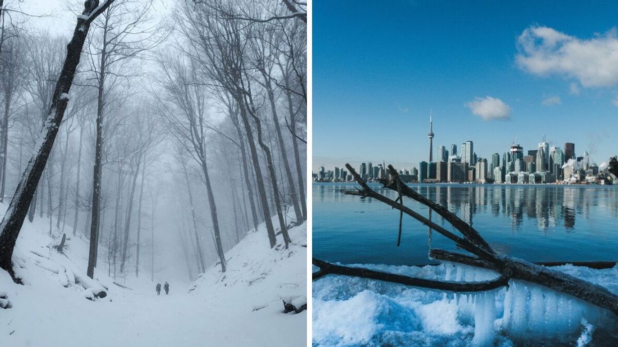
People walk through a snow-covered forest. Right: Toronto in winter.
After a major winter storm brought lots of snow, ice and even some thundersnow to parts of the province, Ontario is in for more winter weather this week with a round of snow squalls predicted.
Ontario's weather forecast is calling for "intense" squalls with the risk of whiteouts and significant snowfall, which could make for dangerous road conditions.
On top of that, things are only going to get more frigid, with Arctic air set to bring some of the coldest temperatures of the season to the province.
According to The Weather Network, potent multi-day snow squall events that have been impacting the traditional snow belt regions will continue this week.
"Prepare for travel delays in the affected areas, keeping in mind that conditions can shift from clear skies to a near-whiteout in a hurry around snow squalls," says the weather outlet.
Intense squalls are forecast for areas east of Georgian Bay, according to TWN, including Parry Sound, Bayfield Inlet, and Britt through Monday.
Multiple snow squall warnings have been issued for the province, including for regions Burk's Falls-Bayfield Inlet, the Grey-Bruce region, Picton-Sandbanks Park, the Niagara region, Parry Sound-Muskoka and Sault Ste. Marie-Superior East.
"Snow squalls cause weather conditions to vary considerably; changes from clear skies to heavy snow within just a few kilometres are common. Travel is expected to be hazardous due to reduced visibility in some locations. Rapidly accumulating snow could make travel difficult over some locations," says Environment Canada.
Snow will accumulate from now until Wednesday, according to TWN.
Areas like Agawa-Lake Superior Park and Searchmont-Montreal River Harbour-Batchawana Bay could see 40-70 centimetres of snow, with locally higher amounts possible by Wednesday morning, says EC.
Other regions like Hunstville-Baysville could see 20-50 centimetres by early Tuesday, while the Niagara Falls-Welland-Southern Niagara Region is set to see additional accumulations of 10 to 20 centimetres by Monday evening.
Through Wednesday, the Greater Toronto Area is expected to see just under 3 centimetres of snow.
The snow isn't the only thing to expect this week — Arctic air that has been flooding into Western Canada is set to move into the Great Lakes, bringing in some of the coldest temperatures of the season.
The GTA will see overnight lows of as cold as -16 C this week, with Eastern Ontario set to be even chiller with lows in the -20s C.
"Wind chill values will make things feel even colder, so residents are being urged to dress warmly and watch for symptoms related to the cold weather," says TWN.
With the wind chill, Toronto will feel like a frigid -15 C on Tuesday and -18 C on Wednesday, so be sure to bundle up.
Thankfully, things should warm up a bit soon, with a "milder pattern" expected for several days during the final week of January.