Ontario's Weather Forecast Is Calling For A Winter Storm With 'Hazardous' Travel Conditions
Snow, heavy rain, strong winds, ice pellets and freezing rain are expected on Tuesday!
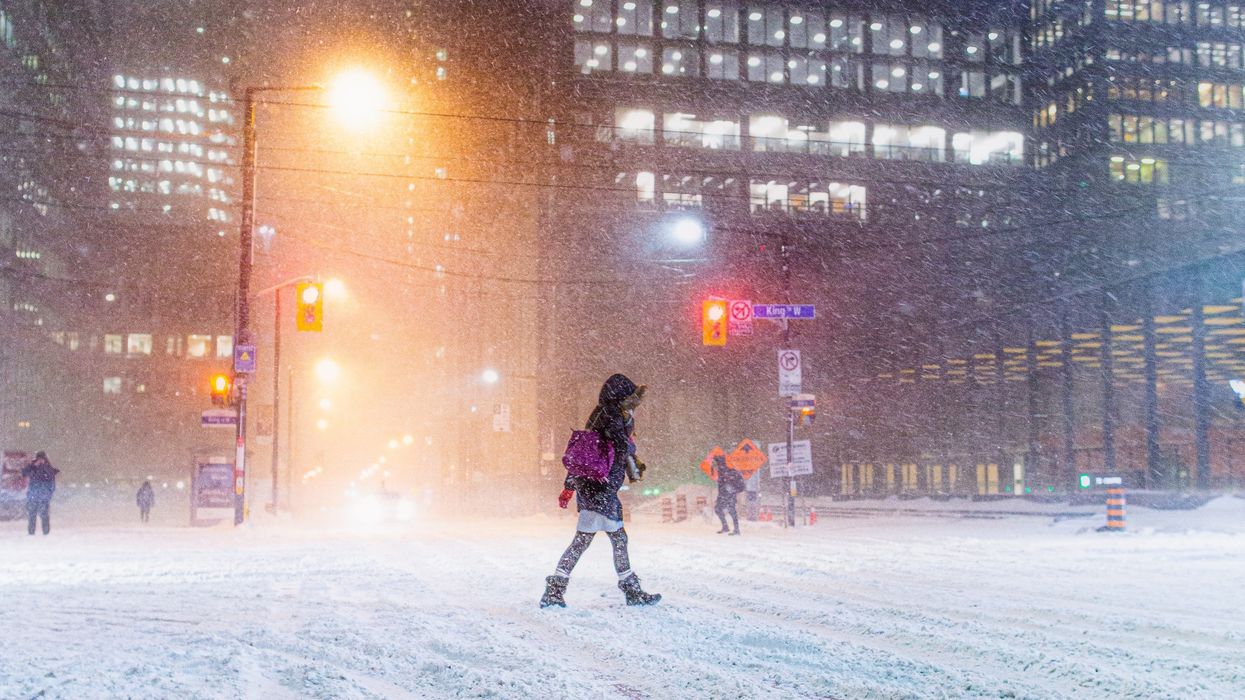
People walking across a street during a snowstorm in Toronto.
Get ready because Ontario's weather is set to be impacted by a huge winter storm with snow, heavy rain, strong winds, and even ice pellets and freezing rain.
Also, "hazardous" travel conditions are expected across many parts of the province as the winter weather moves through.
Here's what you need to know about Ontario's first major storm of 2024, including how much snow could fall and what weather alerts have been issued.
The Weather Network has forecast that the "powerful storm" is threatening parts of the province with snow and ice, making for "widespread travel disruptions."
It has been predicted that snow, heavy rains, strong winds, and even ice pellets and freezing rain will spread across the province on Tuesday, January 9.
"Expect widespread travel disruptions for the duration of this high-impact storm," The Weather Network said. "The snow accumulation and threat for icy conditions may catch some drivers off guard."
Forecasters shared that southern Ontario will fall on the warm and rainy side of this storm but northern parts of the province will stay on the cold and snowy side.
It will start with heavy, wet snow in southern Ontario on Tuesday that will later transition to rain.
Toronto and surrounding cities could get two to eight centimetres of snow and areas closer to Lake Ontario will only get a dusting of snow.
After that, 20 to 30 millimetres of rain is expected to fall on top of the snow.
Since there will be colder air across eastern Ontario, Ottawa could get up to 15 centimetres of snow with a risk for ice pellets or freezing rain near the Ontario-Quebec border before the transition to rain.
Places in northwestern Ontario — like North Bay and Sudbury — are expected to get an all-snow winter storm with as much as 25 centimetres through Wednesday, January 10.
The Weather Network also forecast that "very strong winds" will blow in southern Ontario on Tuesday, with winds up to 60 kilometres per hour and gusts up to 90 kilometres per hour.
Environment Canada has issued winter storm warnings and snowfall warnings for parts of Ontario including Ottawa, Huntsville, Parry Sound, Algonquin Park, Bancroft, Sudbury, Orilla, Haliburton, North Bay, Sauble Beach, Tobermory, Sault Ste. Marie and more.
Also, special weather statements and winter weather travel advisories have been issued by Environment Canada for parts of southern Ontario.
That includes Toronto, Mississauga, Brampton, Markham, Pickering, Hamilton, Barrie, Collingwood, Orangeville, Caledon, Belleville, Owen Sound, Blue Mountain, Peterborough, Oakville, Newmarket, Kingston, Cornwall, Uxbridge, Oshawa, Kitchener, London, Niagara Falls, and more.
Both weather alerts have warned about "significant snowfall with a risk of freezing rain" for Tuesday, January 9.
Generally, across these parts of the province, 5 to 30 centimetres of snow is expected with this winter storm but locally higher amounts are possible.
"Snow associated with a major winter storm is expected to move into portions of southern Ontario on Tuesday," Environment Canada said in the alerts. "Snow may be heavy at times with a risk of freezing rain."
The snow is forecast to change to ice pellets, freezing rain or rain — depending on which part of the province you're in — on Tuesday night because temperatures will rise above freezing.
There will likely be "hazardous" and "difficult travel conditions" on the roads, particularly later in the day on Tuesday and into the night.
This article's cover image was used for illustrative purposes only.
- Toronto To Get Hit With A Snow Squall Followed By Possible First Major Snowstorm Of 2024 ›
- Canada's Winter Weather Forecast Shows When Snowstorms Will Hit & What To Expect Each Month ›
- The TTC Is Bracing For Toronto's Winter Storm & Here's What To Know About Your Commute - Narcity ›
- Ontario's Winter Storm Is Just Ramping Up & Here's What The Day Has In Store - Narcity ›