Ontario's Weather Forecast Calls For 'Severe Thunderstorms' & 'Nickel-Sized Hail' Today
Residents in some areas are being told that if "thunder roars, go indoors!"
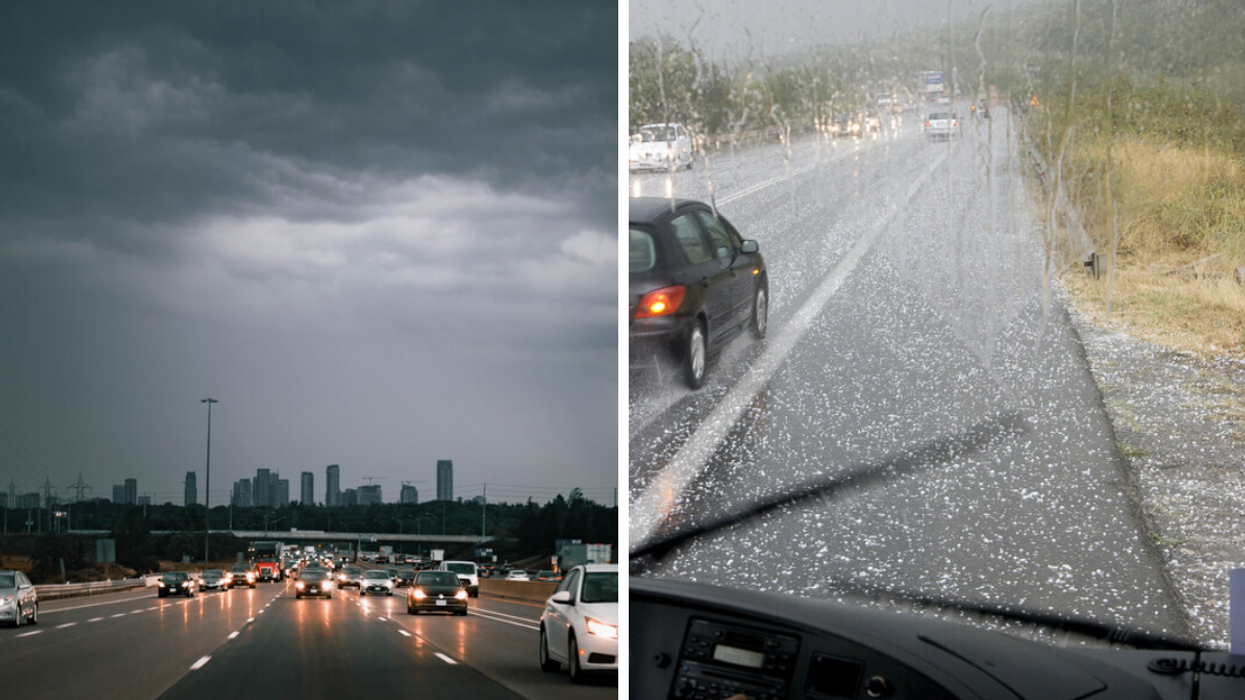
Thunderstorm in Ontario. Right: Falling hail.
Southern Ontario is in for some chaotic weather with several areas under watch for "severe thunderstorms" that may bring "nickel-sized hail," serious wind gusts and downpours.
So, if you're planning on heading out on Wednesday morning or into the afternoon, you may want to bring a backup and an extra-strong umbrella — or just a hard hat and some rubber boots if you really need to walk around town.
Environment Canada (EC) has placed a dozen areas under watch for severe thunderstorms, including Algonquin, Bancroft to Bon Echo Park, Barrie to Orillia and Midland, Belleville to Quinte and Northumberland, Brockville to Leeds and Grenville, Haliburton, Kingston to Prince Edward, Parry Sound to Muskoka, Peterborough to Kawartha Lakes, Renfrew to Pembroke and Barry's Bay, Smiths Falls to Lanark and Sharbot Lake, and Stirling to Tweed and South Frontenac.
EC has also placed Brockville to Leeds and Grenville, Kingston to Prince Edward, Stirling to Tweed and South Frontenac under heavy rainfall warnings with an anticipated downpour of up to 50 to 75 millimetres.
Wednesday morning's thunderstorms have "weakened," but EC warns that "thunderstorm development is likely throughout the afternoon."
Hazards for the potential storm include wind gusts reaching up to 90 km/h, large hail capable of damaging property and causing injury, and heavy downpours that could cause "flash floods and water pooling on roads."
According to EC, the strong wind gust can "toss loose objects, damage weak buildings, break branches off trees and overturn large vehicles," according to EC.
EC is also warning residents in the impacted areas that "lightning kills and injures Canadians every year" and that when "thunder roars, go indoors!"
The Office of the Fire Marshal and Emergency Management echoes EC's playful warning and asks that residents "take cover immediately if threatening weather approaches."
This article's cover image was used for illustrative purposes only.