Ontario's Weather Forecast Is Calling For A Snowy, Rainy Mess & Up To 20 cm In Some Areas
The first "widespread snowfall" of the season is coming!
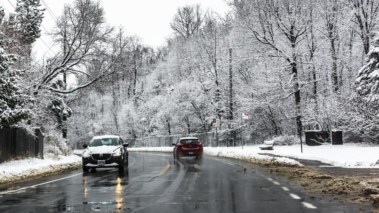
Whether you're visiting family or your favourite hiking spot this weekend, Ontario's weather forecast will have you rethinking your travel plans.
According to The Weather Network, a nasty combination of freezing rain and heavy snow will sweep across parts of Ontario today, creating dangerous travel conditions and unpredictable flurries.
As a result, Environment Canada has placed several regions under weather advisories and snow squall warnings, including Barrie, London, Durham, York Region, Ottawa, and Orillia.
"Snowfall accumulations of 10 to 20 cm are expected by Saturday morning with amounts up to 25 cm possible in areas that experience persistent snow squalls," an excerpt from the report reads.
"The heavy snow will combine with strong northwesterly winds resulting in reduced visibilities in heavy snow and blowing snow at times. Travel will likely become difficult and motorists are advised to exercise caution," it adds.
Toronto is also set to receive a dusting of snow this weekend, with 6 centimetres expected to fall throughout Saturday and Sunday.
The storms will taper off by early Saturday morning. However, a pattern of colder air will ensure that roads remain extra slick throughout the province.
Ontario is also set to receive its first widespread snowfall on Sunday, with seasonal temperatures holding steady for the end of November, according to TWN.
"This would be our first widespread snow of the season, with the potential for much of southern Ontario to see several centimetres of snow," Dr. Doug Gillham, TWN meteorologist, said.