Ontario's Weather Forecast Is Predicting A Combo Of Heat & Severe Thunderstorms Today
Tropical vibes are here.
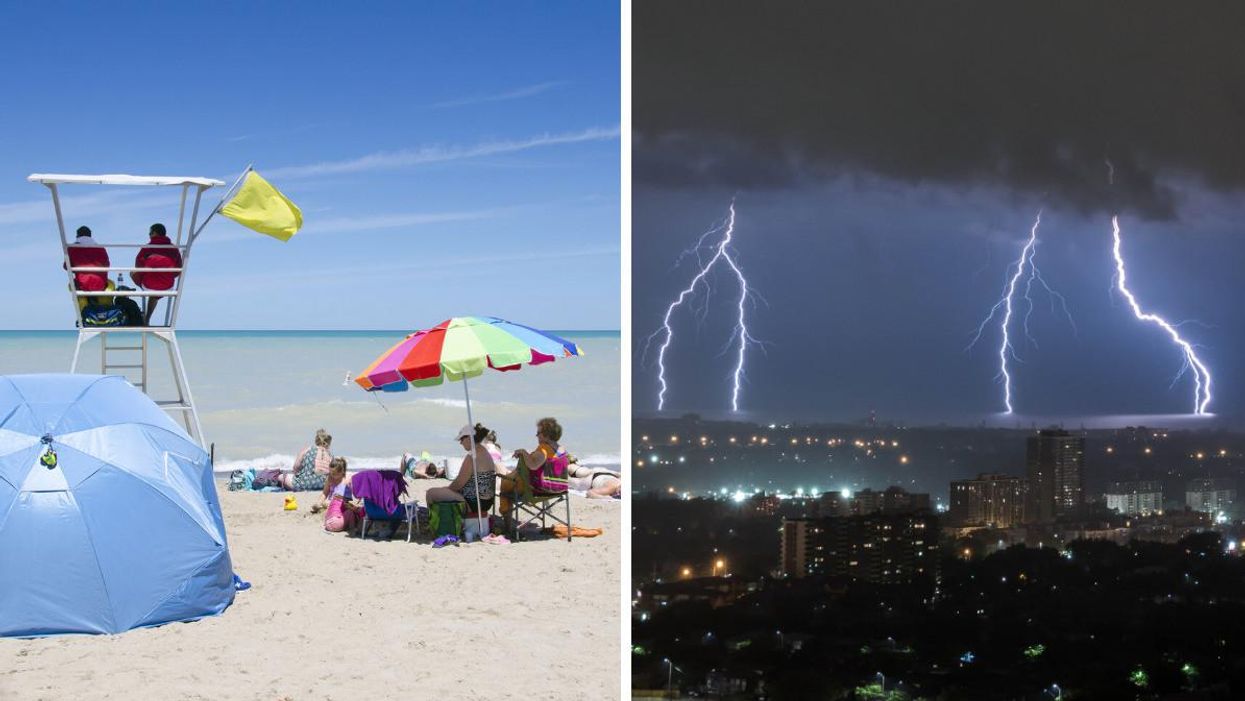
A beach in Grand Bend. Right: A thunderstorm in Ontario.
Ontario's weather forecast is predicting another round of extreme heat and humidity on Wednesday, with a chance of severe thunderstorms developing in the afternoon.
According to The Weather Network (TWN), Wednesday's tropical-like humidity could increase rainfall totals, creating a risk for localized flooding, with eastern areas such as Kingston and Ottawa most at risk for the dangerous conditions.
"Conditions are favourable for the development of severe thunderstorms this afternoon and early this evening. These storms are capable of producing strong wind gusts of 80 km/h, hail size up to 2 cm and heavy rain," Environment Canada warns.
"Strong wind gusts can toss loose objects, damage weak buildings, break branches off trees and overturn large vehicles. Intense lightning is likely with any thunderstorm that develops. Heavy downpours can cause flash floods and water pooling on roads," it adds.
Other parts of Ontario, such as the Greater Toronto Area and the Niagara Peninsula, will be at low risk for storm activity. However, daytime temperatures reached 28 degrees C in the 6ix on Wednesday morning. Residents will want to seek shade and stay hydrated.
Anyone waiting for more comfortable summer weather will want to push their plans to Thursday or Friday, which will feature a combination of sunshine, low humidity, and more comfortable temperatures.
You'll want to enjoy it while it lasts, though, as TWN predicts that a cold front will arrive early next week.
The incoming weather pattern could see temperatures drop below season for a few days, which will likely be a welcomed cool-off from the heat wave. But it could also put a damper on any upcoming beach day plans you may have.