Ontario's Weather Is Bringing 'Dangerous' & 'Stubborn' Snow Squalls To Some Parts With 15 cm
Driving conditions could seriously suck.
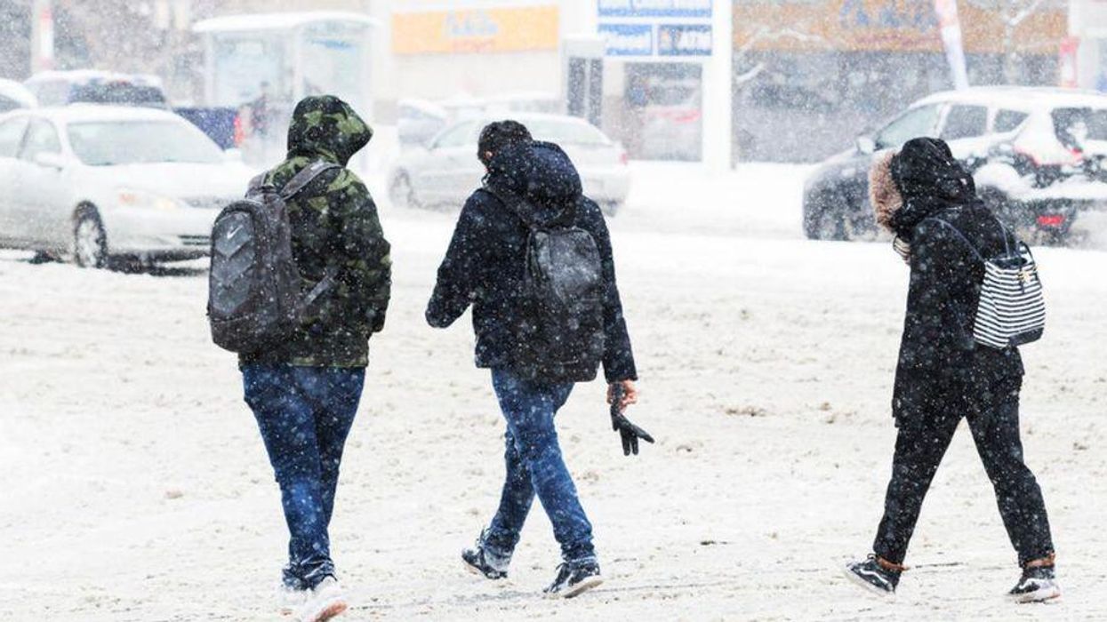
Parts of Ontario are getting hit with some serious snow squalls, and it is going to be quite a blustery day for some residents.
The Weather Network (TWN) calls for big bouts of snow and low visibility on December 7 caused by "dangerous snow squalls" happening across Southern Ontario, coming off Lake Huron and Georgian Bay.
"Some areas have already seen significant snow totals since Monday, with an additional 10-15+ cm still to come through the day on Tuesday," TWN reports.
On top of that, it says strong winds will blow in "fresh Arctic air" that could contribute to a 10-degree temperature drop from Monday in several spots in Ontario.
Your commute and other travel plans throughout the province could be "tricky" because of these "stubborn snow squalls," according to TWN.
Ontario drivers are advised to be prepared for rapidly deteriorating travel conditions, as the massive amounts of snow could lead to "extremely poor visibility and localized whiteouts."
The Toronto Police already advised drivers to be careful when they hit the road on Tuesday.
In a "friendly reminder," police told drivers in Toronto and the GTA to give themselves extra time to get to places as there are reports of icy roads across the area. They also advised drivers to slow down and "be careful out there."
Earlier this week, Ontario's weather forecast called for a "wintry punch" across parts of the province with freezing rain warnings in the south.
Come Wednesday, however, TWN reports that there will likely be a sprinkling of snow across Southern Ontario, with temperatures cooling off.
Those who cannot stand the cold can let out a sigh of relief as the conditions will lighten up by Thursday when the temperatures will be milder.
This article's cover image was used for illustrative purposes only.