Ontario's Weather Forecast Says A Snow Squall Is Coming & Road Closures Are Possible
Parts of the province could get up to 20 cm.
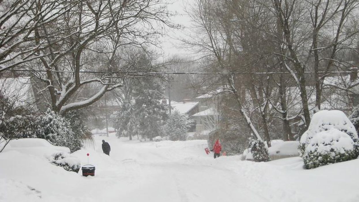
Bundle up or stay inside, folks. Ontario's weather forecast predicts dangerous travel conditions today due to incoming snow squalls, and judging by reports, it'll be all kinds of unpleasant.
According to The Weather Network, parts of the province will be hit with heavy snowfall of up to 20 centimetres by Thursday evening, starting in the north and moving through central Ontario by Friday morning.
As a result, Environment Canada has issued a series of snow squall watches for regions such as Barrie, Collingwood, Orillia, Midland, Waterloo and Parry Sound.
The agency is cautioning drivers to be prepared to adjust to rapidly changing weather conditions, despite things looking relatively calm during the daytime.
"Local snowfall accumulation of up to 20 cm is expected, with higher amounts possible for areas under the heaviest snow squall bands. In addition to the snowfall, reduced visibility in blowing snow is also anticipated," an excerpt from the warning reads.
"Travel may be hazardous due to sudden changes in the weather. Visibility may be suddenly reduced at times in heavy snow. Surfaces such as highways, roads, walkways and parking lots may become difficult to navigate due to accumulating snow. Road closures are possible," it adds.
This week, lousy travel weather has been a common theme, with advisories also being issued Wednesday due to a mixture of snow, ice pellets and freezing rain during the morning.
Thankfully, the worst wintry weather will taper off by the weekend, with near-seasonal temperatures ringing in a calm but cloudy Saturday for most of southern Ontario.
However, it's worth noting that Sunday will be noticeably wet, with most regions expected to get at least 5-10 millimetres of rain.
So, if you've got outdoor plans this weekend, be sure to pack an umbrella and stay updated on local weather forecasts unless you want to risk getting soaked.
This article's cover image was used for illustrative purposes only.
- Ontario's Winter Weather Could Be Some Of The Worst In 25 Years ... ›
- Ontario's Weather Forecast Calls For Huge Hail & Possible ... ›
- Ontario's Weather Forecast Says A 'Snow Machine' Is Coming ... ›
- Ontario's Weather Forecast Predicts Up To 20 cm Of Snow Today & Whiteout Conditions Next Week - Narcity ›
- Toronto's Weather Forecast Is Calling For 3 Days of Snow This Week So Bundle Up - Narcity ›
- Ontario's Weather Forecast Is Snowy AF & Some Spots Could Get 15 cm This Weekend - Narcity ›
- Ontario's Weather Forecast Is Predicting Double-Digit Highs Tomorrow & It'll Feel Like Spring - Narcity ›
- Southern Ontario's December Weather Is Set To Get Super Cold & Snowy Real Quick - Narcity ›
- Ontario's Weather Is So Windy Today That Several Power Outage Warnings Have Been Issued - Narcity ›
- Ontario’s Weather Forecast Calls For Up To 15 cm Of Snow In Some Spots This Weekend - Narcity ›
- Ontario's Weather Is Bringing 'Dangerous' & 'Stubborn' Snow Squalls To Some Parts With 15 Cm - Narcity ›
- Ontario’s Weather Calls For Arctic Air & Some Spots Will Be Blasted With -40 C Winds - Narcity ›
- Ontario Police Are Responding To So Many Winter Accidents This Week Because Of The Snow - Narcity ›
- Ontario's Weather To Be A 'Battleground' Next Week With A Messy Mix Of Snow & Ice Pellets - Narcity ›
- Ontario's Weather Forecast Predicting Warmest St. Patrick Day In 10 Years For Some Parts - Narcity ›
- Ontario's Weather Forecast Is Predicting 30 cm Of Snow Today & It's Going To Be A Mess - Narcity ›
- Ontario's Weather Forecast Predicts Up To 10 cm Of Snow Today & Driving Will Be Messy AF - Narcity ›
- Ontario's Weather Forecast Calls For Colder Than Normal Temps So Forget About The Beach - Narcity ›
- Parts Of Ontario Will Be Hit By 'Impactful Snow' This Week & It'll Be Quite The Change - Narcity ›
- Ontario's Weather Forecast Calls For A Chaotic Mix Of Heat & Frost This Weekend - Narcity ›
- Ontario's Weather Forecast Is Predicting Severe Thunderstorms & Large Hail Tomorrow - Narcity ›
- Ontario's Weather Forecast Predicts A Gross Mix Of Hail, Rain & Thunderstorms For 2 Days - Narcity ›
- Ontario Weather Forecast Is Wild Today With 'Exceptionally' Hot Temps & Possible Tornadoes - Narcity ›
- Ontario's Weather Forecast Predicts 'Snow Squalls' & 'Flurries' For The First Time Today - Narcity ›
- Ontario's Weather Forecast Predicts 'Snow Squalls' & 'Flurries' For The First Time Today - Narcity ›
- Ontario's Weather Forecast Is Going Get Snowy AF This Week & Travel Will Be Impacted - Narcity ›