Parts Of Ontario Will Be Hit By 'Impactful Snow' This Week & It'll Be Quite The Change
Last week was bliss, this week not so much.

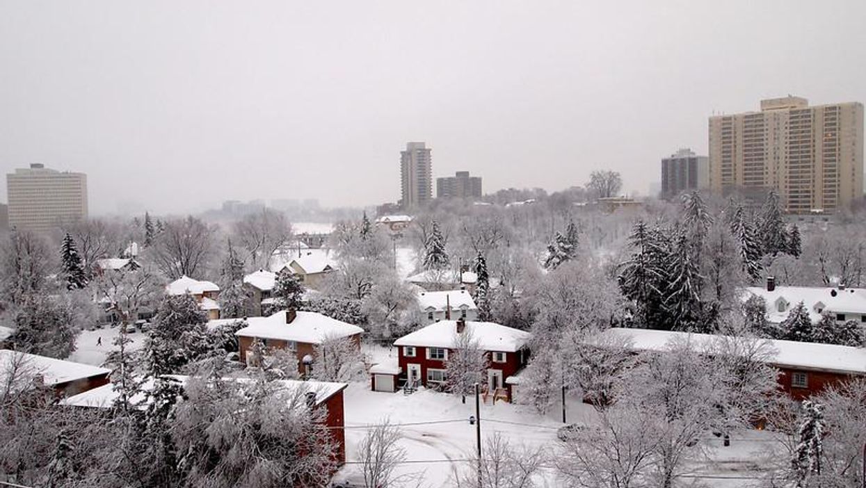
Snowfall in Ottawa.
After a blissful week of summer-like weather, Ontario's forecast is again set to plunge into uncertainty, and it'll be anything but mild.
According to The Weather Network, the sudden weather pattern change is the result of "a ridge" hanging over North America, an event that'll pull Arctic air south and create wintry weather for most of the country.
The incoming frigid air will reportedly create a late-week storm that will bring a swath of snow through Saskatchewan, Manitoba, Alberta, Ontario, and Quebec.
However, the greatest chance for impactful snow will be Friday in northwestern Ontario.
Several factors will come into play as the week progresses, creating less or more significant snowfall, depending on how things go.
"The location where the late-week storm forms will also be a major factor. If the system forms in Colorado, this would mean more Gulf warmth and less Arctic air, but if it forms over Wyoming or Montana, cold air will be a bigger player and could result in more snowfall," Kevin MacKay, TWN meteorologist, said.
"However, it is important to note that long-range models have their biases and warmer air may become more prominent as the week progresses, which could result in only a couple heavily populated areas seeing snowfall," he adds.
The shocking change of pace comes after eastern and northern parts of the province experienced several 30-degree days in a row, marking its first true heat wave of the season.
Thankfully, temperatures are set to rebound to seasonal or possibly above seasonal by the Victoria Day long weekend.