Ontario's Weather Forecast Says A 'Snow Machine' Is Coming & Several Spots Will Be Impacted
It's coming your way too, Manitoba!
All right Canucks, it may be time to officially get out your winter gear, as some parts of Canada are about to get hit with some rather snowy weather this week.
According to The Weather Network, a "lake-effect snow machine" is about to make its way to parts of Ontario and Manitoba as early as Monday, November 1 and could stretch over 1,500 kilometres in total!
"The extent of the lake-effect bands is due to the Arctic air filling an upper trough, which stretches from Saskatchewan to Quebec, combined with water temperatures in excess of 10°C in most places," TWN said.
Starting Sunday, October 31, winds are forecasted to produce lake-effect squalls into the Winnipeg area and also impact the Trans-Canada Highway from Portage la Prairie, Manitoba, to the Ontario border. The squalls could even hit along Ontario highways 11 and 17, stretching all the way from Lake of the Woods to Lake Superior.
Come Monday, certain areas may even see some lingering snow.
"Most areas will just see a cm or two but the southeastern shores of lakes Winnipeg, Manitoba, Seul, Nipigon and Lake of the Woods could see 5-10 cm locally," said TWN.
Areas east of Muskoka, as well as the Dundalk Highlands in Ontario, will even see that Arctic air head south overnight on Monday, with lake-effect showers turning into snow. Some high winds are also expected in the area, with gusts of 40-60 km/h possible Monday afternoon into the evening.
"This pattern looks to lock in over the Great Lakes for the first week of November, keeping temperatures below seasonal, as well as keeping significant systems at bay," TWN predicts.
It's also forecasted that the first measurable snowfall of the season could happen across higher terrain areas near the Great Lakes by the end of this week so get ready to bundle up!
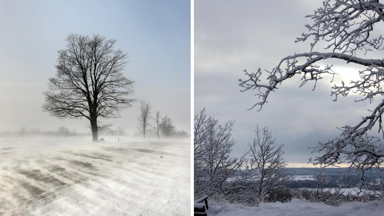
This article's cover image was used for illustrative purposes only.
- Ontario's Weather Forecast Will Be Full Of Snow & Cold ... - Toronto ›
- Parts Of Ontario Are Already Being Covered In Snow & More Is On ... ›
- Ontario's Weather Will Hit Some Spots With Up To 40 cm Of Snow & Just Stay Home TBH - Narcity ›
- Ontario's Weather Is 'Blizzard-Like' In Some Spots RN & It's Making Travel Dangerous - Narcity ›
- Ontario's Weather Could Hit Some Spots With 50 cm Of Snow This Week So RIP Your Travel Plans - Narcity ›
- Ontario's Weather Is Getting Hit With 15 cm Of Snow In Some Spots & We're Already Over It - Narcity ›
- Ontario's Weather Is Burying Some Spots In 20 cm Of Snow & Can It Just Stop Already - Narcity ›
- Ontario's Weather Forecast Says A Snow Squall Is Coming & Road Closures Are Possible - Narcity ›
- Ontario's Weather Forecast Predicts Up To 20 cm Of Snow Today & Whiteout Conditions Next Week - Narcity ›
- Ontario's Weather Is Absolutely Burying Some Spots In Snow RN & Even More Is On The Way - Narcity ›
- Southern Ontario's December Weather Is Set To Get Super Cold & Snowy Real Quick - Narcity ›
- Ontario’s Weather Forecast Calls For Up To 15 cm Of Snow In Some Spots This Weekend - Narcity ›
- Ontario’s Weather Forecast Calls For A Windy, Rainy Mess & ‘Damage To Buildings May Occur’ - Narcity ›
- Ontario's Weather Officially Hates Us With Freezing Rain, Snow & Damaging Winds On The Way - Narcity ›
- Ontario’s Weather Calls For Arctic Air & Some Spots Will Be Blasted With -40 C Winds - Narcity ›