Ontario's Weather Will Hit Some Spots With Up To 40 cm Of Snow & Just Stay Home TBH
Special weather statements have been issued too, sheeesh... 🥶
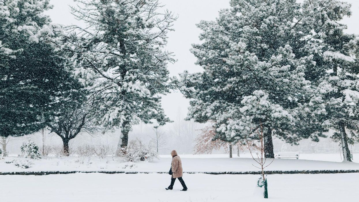
There's snow way out of Ontario's weather this week because it will look like the inside of a snowglobe in many parts across the province (so you might want to take a rain, ahem, snow check on your plans.)
Environment Canada issued several special weather statements Tuesday morning, warning of serious snowfall across parts of northwestern and far northwestern Ontario.
This statement was issued for the following regions: Dryden - Ignace, Fort Hope - Webequie, Geraldton - Manitouwadge - Hornepayne, Kenora - Nestor Falls, Lake Nipigon - Wabakimi, Pickle Lake - Wunnummin Lake, Red Lake - Ear Falls, Sandy Lake - Pikangikum, and Sioux Lookout - Savant Lake.
Environment Canada says some regions are set to see anywhere between 20 and 40 centimetres of snow by Friday evening.
The heavy snow will start to fall on Wednesday, November 10, and will carry on until Friday before easing up into some lighter snowfall or flurries by Saturday.
On top of the widespread snowfall, there will also be strong winds breezing through the areas that could make it harder to see due to the blowing snow. Environment Canada is saying this will especially happen on Thursday and could continue on the day after.
The special weather statement advises that there could be issued later on.
Parts of southern Ontario won't have it as bad. Toronto is set to see highs of 11 C throughout this week. Yet, the 6ix could see its first sprinkling of snow by next week.
Meanwhile, B.C. could be getting its fair share of snow as the odds of a widespread snowfall event have been "heightened," according to one meteorologist.
This article's cover image was used for illustrative purposes only.
- Ontario's Winter Weather Forecast Was Just Revealed ... - Toronto ›
- Ontario's Winter Weather Could Be Some Of The Worst In ... - Toronto ›
- Ontario's Weather Forecast Says A 'Snow Machine' Is Coming ... ›
- Ontario's Weather Is 'Blizzard-Like' In Some Spots RN & It's Making Travel Dangerous - Narcity ›
- Ontario's Weather Could Hit Some Spots With 50 cm Of Snow This Week So RIP Your Travel Plans - Narcity ›
- Ontario's Weather Is Absolutely Burying Some Spots In Snow RN & Even More Is On The Way - Narcity ›
- Ontario's Weather Could Hit -37 C In Some Spots & You Could Get Frostbite In Minutes - Narcity ›
- Ontario Weather Is Calling For A Mix Of Freezing Rain & Snow For A Miserable End To 2021 - Narcity ›
- Ontario Weather Is Miserable With Some Spots Getting Hit With 20 cm Of Snow & -45 C Winds - Narcity ›
- Ontario's Weather Is Going To Be Wickedly Cold & Prepare For -45 C In Some Spots Today - Narcity ›
- Ontario’s Weather Calls For ‘Arctic Air’ & Some Of The Coldest Temps In Almost 3 Years Today - Narcity ›
- Ontario's Wild Snowstorm Is Raging RN & People Are Actually Shoveling The 401 (VIDEOS) - Narcity ›
- Ontario Snowstorm Shuts Down So Many Vaccine Clinics & You May Have To Reschedule - Narcity ›
- Here's The Meaning Of 'Blizzard' & What To Look Out For In Ontario Today - Narcity ›
- Ontario's Weather Is About To Get Freezing Cold & Will Turn Snow Into Giant Blocks Of Ice - Narcity ›
- Ontario's Weather Is Getting Hit With Extreme Cold Warnings & It Could Feel Like -45 C - Narcity ›
- Ontario's Weather Calls For Up To 20 cm Of Snow This Week & You'll Want To Just Stay Home - Narcity ›
- Ontario’s Weather Will Hit Some Spots With So Much Snow This Week & It’ll Be Messy - Narcity ›
- Ontario's Weather Will Be Bone-Chilling With 'Freezing Rain' Coming This Weekend - Narcity ›
- Ontario Weather Is Predicting Toasty Warm Temps Next Week & Bust Out Your Sunglasses - Narcity ›
- Toronto's Weather Will Be Full Of 'Sneaky Snow' Today & It's Going Mess Up Your Commute - Narcity ›