Ontario's Weather Calls For Up To 20 cm Of Snow This Week & You'll Want To Just Stay Home
Commuting will be a slippery mess.
If you're hoping Ontario's weather will stop with all the snow — sorry, it's February.
According to The Weather Network (TWN), regions along the 401 corridors will get 5 to 10 centimetres of snow on Friday, making it likely that your last commute before the weekend will be a wintry nightmare.
But wait, it gets worse. Forecasters also report that areas near the west end of Lake Ontario could get up to a whopping 20 centimetres due to an "enhancement with a northeasterly wind."
The weather event will also impact Wednesday's forecast with gusty winds and falling temperatures, creating the possibility of lake-effect snow squalls off Lake Huron and Georgian Bay.
"This is an unusually cold system to watch for this late in the winter season," said Dr. Doug Gillham, a TWN meteorologist, in the report.
Unfortunately, the weekend won't fare much better, with conditions expected to remain cold throughout Saturday and more snow and gusty winds by Sunday.
Although, there is a silver lining hidden in there.
"We will stay fair and cold early next week as we make the transition from February to March, though with a warming trend for mid-week and the potential for a few days of above seasonal temperatures late next week and weekend," Gillham added.
Still, residents should keep their expectations for March low.
"The return to a more wintry pattern however, looks to resume during the second week of March, with an active storm track setting up over the region once again," the report concludes.
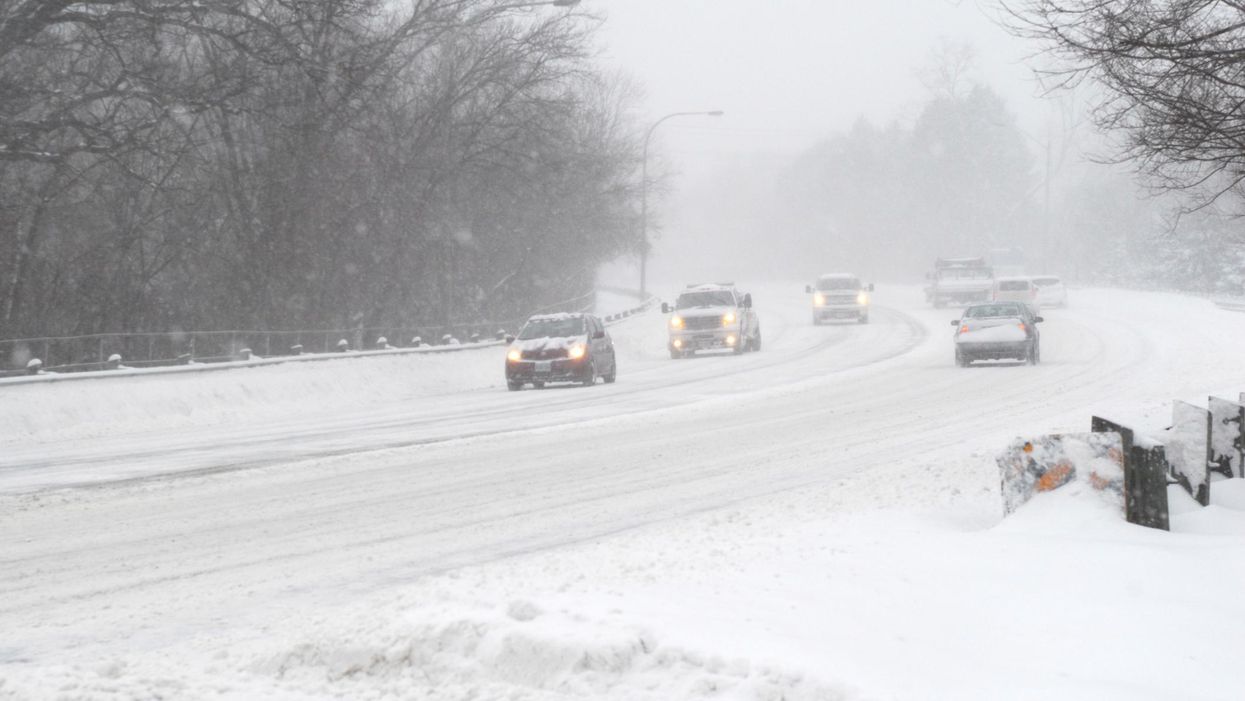
This article's cover image was used for illustrative purposes only.
- Wiarton Willie Just Predicted An Early Spring Ahead Of Today's ... ›
- The Weather In Ontario Will Be A 'Taste Of Early Spring' Next Week ... ›
- Ontario Police Are Warning Drivers To 'Slow Down' As Rain & Snow ... ›
- Ontario's Weather Will Hit Some Spots With Up To 40 cm Of Snow & Just Stay Home TBH - Narcity ›
- Ontario's Weather Will Be A Mess This Weekend Thanks To Remnants Of Hurricane Pamela - Narcity ›