Ontario's Weather Is About To Get Freezing Cold & Will Turn Snow Into Giant Blocks Of Ice
Travel conditions are about to get "hazardous."
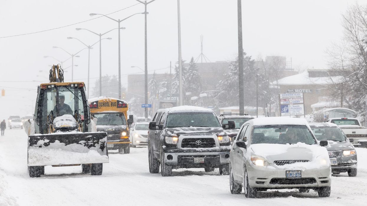
On Wednesday, Ontario's weather is calling for an incoming clipper system that will bring gusty winds, slippery wet snow, and freezing drizzle to parts of the province, with motorists being warned to prepare for dangerous travel conditions.
According to The Weather Network, the system will bring 5 to 10 centimetres of snow to Snowbelt regions. Spots surrounding the Ottawa and Parry Sound areas will be hit the hardest.
Environment Canada has also issued a snow squall watch for London, with up to 25 centimetres expected into Thursday night.
The mixture of incoming snow, leftover piles from Monday's blizzard, along with "freezing drizzle, and falling temperatures will make for hazardous road conditions, particularly for untreated surfaces," according to Environment Canada.
"Motorists should expect hazardous winter driving conditions and adjust travel plans accordingly," it adds. "Surfaces such as highways, roads, walkways and parking lots may become icy and slippery."
TWN also warns that some post-storm hazards include standing water freezing over, and snow turning into giant blocks of ice as temperatures drop.
As if that wasn't bad enough, a pattern of frigid weather is expected to arrive by Thursday, with some of the coldest temperatures this year — -20 C to -30 C — forecasted to hang around through the weekend.
The shift from Wednesday's milder conditions will be drastic, with Toronto dropping from a daytime high of 4 C to a freezing -16 C by Thursday with wind chills of - 25 C. Gross.
"A cold pattern will continue through the end of January and possibly into the first week of February, but a milder pattern should develop in early February. However, winter storms will still be possible," TWN concludes.