Ontario's Weather Could Hit -37 C In Some Spots & You Could Get Frostbite In Minutes
Some Ontarians are in for a cold, cold night.
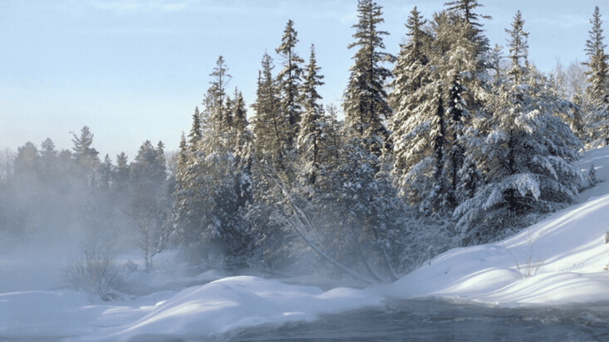
Northern Ontario's winter weather is living up to its chilling reputation, with temperatures in some areas predicted to drop down to extreme lows with freezing wind chill values on Thursday night.
Environment Canada is warning of "extreme cold" in parts of Northern Ontario this evening and into Friday morning, with temperatures predicted to hit between -32 and -37 depending on the area.
Wind chill values are expected to reach around -45 tonight across all impacted areas.
Attawapiskat, Big Trout Lake-Sachigo Lake, Fort Hope-Webequie, Fort Severn and Peawanuck are all currently under extreme cold warnings, which were put in place just before 11 a.m.
Environment Canada is warning people within impacted areas to look out for "cold related symptoms" like "shortness of breath, chest pain, muscle pain and weakness, numbness and colour change in fingers and toes."
To combat the cold weather, Environment Canada is asking people to "dress warmly" and layer up with a wind-resistant outer layer before heading outside to brave the cold.
Frostbite is also a concern with such cold temperatures, and the weather department is reminding people that "frostbite can develop within minutes on exposed skin, especially with wind chill."
Southern Ontario
Southern Ontario may not be as cold tonight, but the region still isn't off Jack Frost's hit list.
Seven winter weather travel advisories have been issued by Environment Canada across Southern Ontario in anticipation of a "swath of snow" in areas like Toronto, Hamilton, York-Durham, Halton-Peel, Waterloo-Wellington, Kingston-Prince Edward, and Belleville-Quinte-Northumberland.
Impacted areas can expect up to 2 to 6 centimetres of snow depending on the location, and Environment Canada warns that snow may affect commutes and travel.
All drivers on the road should be ready to adapt to "changing road conditions," Environment Canada says.