Ontario's Weather Forecast Is Getting Brutal With Up To 25 cm Of Snow In Some Spots
It's going to start to look a lot like Christmas!
If you've been missing a little chaos in your life, buckle up because a bunch of snow is on its way to parts of Ontario.
An "intense band of snow" is heading off Lake Huron to parts of Southern Ontario, thanks to northwesterly winds following a departing clipper system (a fast-moving, low-pressure weather system), and some areas could see 10 to 20 centimetres of snow on Wednesday, according to The Weather Network (TWN).
"Gusty winds of 60-80 km/h will drive a band of snow across the Huron shores, where snow squall warnings are in effect for the day."
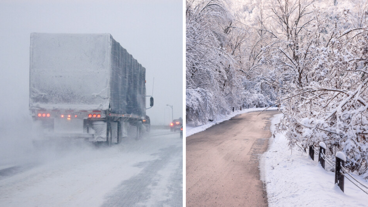
TWN warns that the snow squall could cause "whiteout conditions" and says to watch out for rapid weather changes "over short distances."
The Grey-Bruce area, including Hanover, Dundalk, Southern Grey County, Saugeen Shores, Kincardine and Southern Bruce County, is currently under a snow squall warning from Environment Canada, and residents can expect up to 25 centimetres of snow.
The snow squall is expected to develop this morning and weaken into the night as winds die down, leaving the squall to turn into flurries.
Toronto could also see some of the snow squall's impact if winds are strong enough to push it into the GTA, although predicted snowfall for the day remains at under 2 centimetres.
Barrie and the eastern shores of the Georgian Bay can also expect some light snow, according to TWN.
The "whiteout conditions" that are possible likely won't last until Christmas, however.
Southern Ontario can expect 2 to 5 centimetres of snow on Thursday, but according to TWN, the snow most likely won't stick around. So if you're dreaming of a white Christmas, you may be disappointed this year.
This article's cover image was used for illustrative purposes only.