Ontario's Weather Forecast Predicts Up To 20 cm Of Snow Today & Whiteout Conditions Next Week
Travel conditions just keep getting worse and worse.
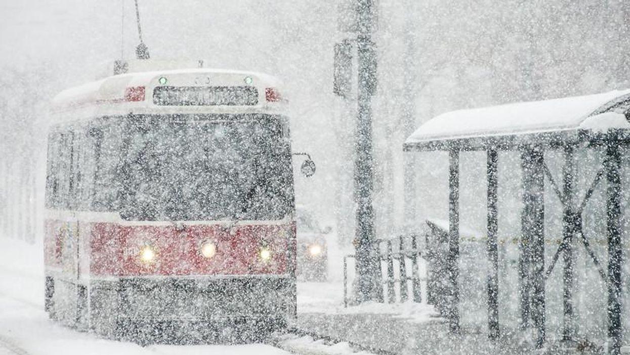
It's officially winter tires season. Ontario's weather forecast predicts another barrage of snow squalls today with a combination of powerful winds and up to 20 centimetres of snow expected to make travel treacherous.
According to The Weather Network, a pattern of incoming westerly winds will bring "hit and miss" flurries to the west end of the GTA throughout Friday, with some southern parts of the province expected to get between 10-20 centimetres of snow.
Environment Canada has issued winter weather advisories for several areas including Waterloo, Kincardine, Goderich and Stratford.
"Motorists should expect hazardous winter driving conditions and adjust travel plans accordingly. Visibility may be suddenly reduced at times in heavy snow," an excerpt from the warning reads.
The weekend will be a mixed bag, with Saturday bringing in a combination of light rain showers and near-seasonal temperatures.
However, Sunday evening will see snow squalls returning with 50-70 km/hr winds and whiteout conditions to areas east of Lake Huron and Georgian Bay on Monday.
- Ontario's Weather Forecast Says A Snow Squall Is Coming ... - Toronto ›
- Ontario's Weather Forecast Says A 'Snow Machine' Is Coming ... ›
- Ontario's Winter Weather Forecast Was Just Revealed ... - Toronto ›
- Canada's Weather Is About To Get Freezing As A 'Reservoir Of Cold Air' From The Arctic Spreads ›
- Ontario's Weather Forecast Is Snowy AF & Some Spots Could Get 15 cm This Weekend - Narcity ›
- Ontario’s Weather Is Getting Hit With Heavy Rain That May Cause Flash Flooding & Outages - Narcity ›
- Toronto's Weather Is Calling For A White Christmas & So Much Snow Is On The Way - Narcity ›