Ontario’s Weather Is Getting Hit With Heavy Rain That May Cause Flash Flooding & Outages
Environment Canada warns of washouts and strong winds that could toss loose objects.
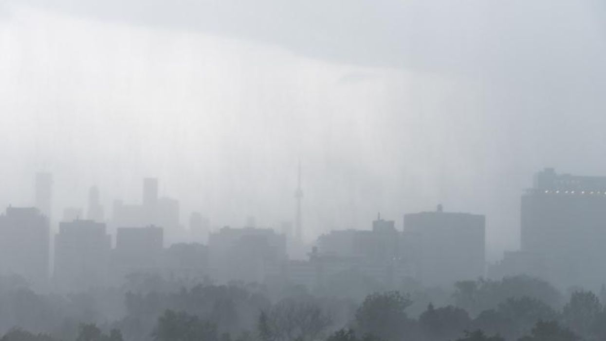
Southern Ontario is in for a windy and wet night that will carry into Saturday with possible power outages, flash flooding, and winds tossing "loose objects."
Environment Canada has issued special weather statements for areas across Southern Ontario, with a total of 32 statements.
The government department is warning of heavy rain and strong winds "beginning tonight and continuing into Saturday night," so it's safe to say that if your Friday night plans don't include huddling inside your house, they're probably ruined.
In Toronto, Environment Canada warns of rainfall amounts between 25 and 45 millimetres and wind gusts with speeds ranging from 70-90 km/h.
Across Southern Ontario, the amount of rain and speed of wind gusts vary, but the impacts of the weather are predicted to be the same.
Environment Canada says the rain and wind may cause local power outages, flash floods and the possibility of "water pooling on roads," localized flooding in "low-lying" spots. It may also cause tree branches to break, loose objects to be tossed around as well as "possible washouts near rivers, creeks and culverts."
A "strong cold front" moving across the southern part of the province is responsible for the rain and wind and "southwesterly winds" may show up on Saturday afternoon followed by "northwesterly winds" in the evening.
Northern Ontario also had eight special weather statements issued by Environment Canada, which warn of heavy snowfall of up to 15 centimetres and the risk of freezing rain.
Freezing drizzle & snow to come
Parts of Southern Ontario, including Renfrew, Pembroke, Barry's Bay, Burk's Falls, Bayfield Inlet and Algonquin are also under a freezing drizzle advisory.
Environment Canada says impacted areas may be currently experiencing freezing drizzle or can expect it.
Residents are asked to "take extra care when walking or driving" as roads, highways, and walkways may be icy.
Fortunately, the freezing drizzle won't stay too long and is expected to end this afternoon.
After the rain, winds and freezing drizzle have had their fun, temperatures will "rapidly fall" on Saturday night, creating the perfect environment for a "light snow" to develop.