Ontario's Weather Is Burying Some Spots In 20 cm Of Snow & Can It Just Stop Already?
Grab your snow shovels!
Ontario's weather forecast is calling for even more snow across certain regions in the province, so it's time to bundle up and get your shovels out.
Environment Canada issued various alerts for Northern and Southern Ontario ranging from special weather statements to snowfall warnings, with a couple of northwestern regions set to get up to 20 centimetres of snow.
For both Sandy Lake and Pickle Lake, the government department is calling for heavy snowfall starting Tuesday morning that won't taper off until Wednesday, November 17. The areas are expected to see somewhere between 10 to 20 centimetres of snow. Visibility could be reduced due to the heavy snowfall and residents are warned to prepare for deteriorating travel conditions.
Snow is set to start falling in Sachigo Lake on Tuesday afternoon before making it over to Big Trout Lake by the night, with total snowfall amounts of 10 to 15 centimetres expected. Sioux Lookout - Savant Lake, and Red Lake - Ear Falls, are set to get equal amounts of snow.
Meanwhile, White River - Dubreuilville and Lake Nipigon - Wabakimi are expected to get somewhere between 5 to 10 centimetres of snow by Wednesday afternoon.
In other regions of Northern Ontario like North Bay and Sudbury, special weather statements have been issued warning of a winter cocktail of snow, ice pellets, and maybe even freezing rain starting later tonight. Environment Canada says the exact amount of snow and freezing rain that will hit these regions is not known, but residents should be aware that road conditions could become slippery and icy.
Freezing rain could also fall through some areas in Southern Ontario such as Ottawa and Algonquin, where it could linger over the Ottawa Valley for many hours Wednesday afternoon before temperatures go back up to above freezing.
There is also a weather advisory in effect for Barrie, where flurries coming in from the Georgian Bay will continue to fall and result in up to 10 centimetres of snow in some areas.
The roads are already treacherous in some parts of the GTA, with many crashes on major highways due to wet and slippery road conditions.
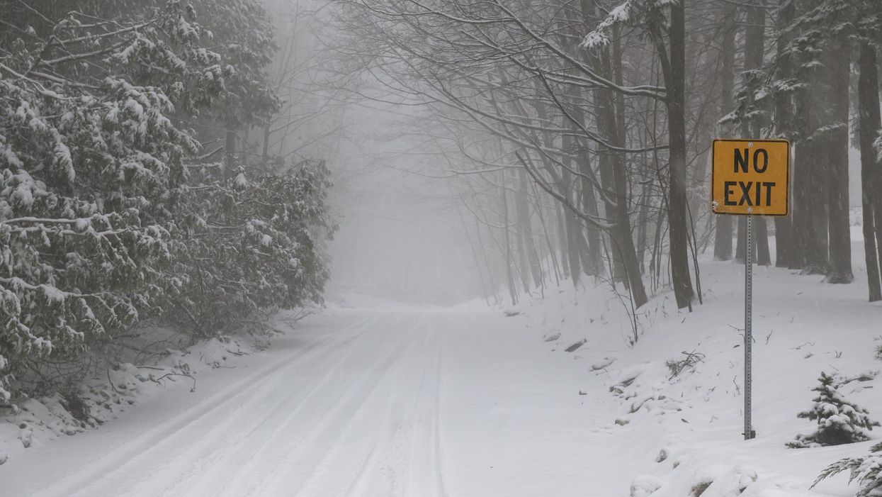
This article's cover image was used for illustrative purposes only.
- Ontario's Weather Forecast Says A 'Snow Machine' Is Coming ... ›
- Ontario's Weather Is Getting Hit With 15 cm Of Snow In ... - Toronto ›
- Southern Ontario's Winter Weather Is Here & Spots Will ... - Toronto ›
- Environment Canada Warns Of Freezing Rain In Parts Of Ontario & It's Going To Be Icy - Narcity ›
- Ontario Weather Is Calling For A Mix Of Freezing Rain & Snow For A Miserable End To 2021 - Narcity ›
- Ontario's Snowstorm Could Be The Biggest In Years & Some Spots Are Getting Up To 50 cm - Narcity ›
- Ontario Weather Forecast Calls For More Snow This Morning & It Just Won't Stay Warm - Narcity ›
- Parts Of Ontario Will Be Totally Swamped With Torrential Rains & Chaotic Winds Today - Narcity ›
- Ontario Will Be Hit By A Heat Wave This Weekend & It'll Have You Blasting Your AC - Narcity ›
- Ontario's Weather Forecast Predicts 'Thigh-High' Amounts Of Snow & Road Closures This Weekend - Narcity ›
- Ontario's Weather Could See A Sneaky Warm Pattern Creep In Next Week & Storms Are Coming - Narcity ›