Ontario's Weather Forecast Predicts 'Thigh-High' Amounts Of Snow & Road Closures This Weekend
Parts of the province could see 60 centimetres of snow! ☃️
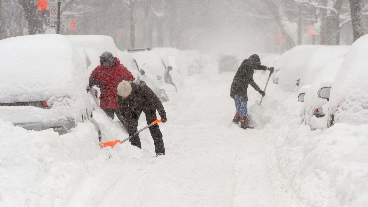
People shovelling snow in Ontario
Drivers who haven't put on their winter tires yet will want to avoid travelling this weekend, as Ontario's weather forecast is predicting another round of heavy snow.
According to The Weather Network (TWN), a pattern of persistent snow squalls is expected to develop off the Great Lakes, leaving parts of the province to potentially record "thigh-high" snow by Sunday.
As a result, Environment Canada has issued several snow squalls warnings and watches for areas such as Barrie, Kingston and Niagara. By the weekend, some regions are expected to have 30 to 60 centimetres of snow accumulation.
The massive snowfall event could also reduce motorists' visibility to near zero at the time, making for treacherous travel conditions.
"Road closures are possible. Consider postponing non-essential travel until conditions improve," the agency warns. "If you must travel, keep others informed of your schedule and destination and carry an emergency kit and mobile phone."
The greatest impacts will be recorded by regions close to the northeastern shores of Lake Erie and Lake Ontario, with rounds of "very heavy snow" expected to sweep across the Niagara Peninsula, creating what experts described as a "sightly winter scene."
However, the most disruptive weather will fall further north along the 401 and east of Cobourg.
"Due to the nature of lake-effect snow, storm totals will vary widely over short distances and between one community and another," the TWN report concludes.
In short, drivers will want to avoid travelling if they can, and anyone preparing to venture out in the snow should make sure to bundle up.
This article's cover image was used for illustrative purposes only.
- Ontario's Weather Forecast Says The 'First Multi-Day Snow Squall' Is Coming This Weekend ›
- Ontario's Weather Is Burying Some Spots In 20 cm Of Snow & Can It Just Stop Already? ›
- Ontario's Winter Weather Could Be Some Of The Worst In 25 Years & So Much Snow Is Expected ›
- Ontario's Weather Will Bring "Impossible" Travel Conditions This Weekend & It's A Snowpocalypse - Narcity ›
- Niagara's Weather Forecast Calls For 'Intense' Snow Squalls & Up To 50 cm This Weekend - Narcity ›
- Ontario's Weather Forecast Is Calling For Up To 50 cm Of Snow Today & You'll Need A Shovel - Narcity ›
- This Ontario Town Got Buried In 125 cm Of Snow Over The Weekend & It's 'Ice Age' Vibes (PHOTOS) - Narcity ›