Niagara's Weather Forecast Calls For 'Intense' Snow Squalls & Up To 50 cm This Weekend
Visibility is expected to get really bad!
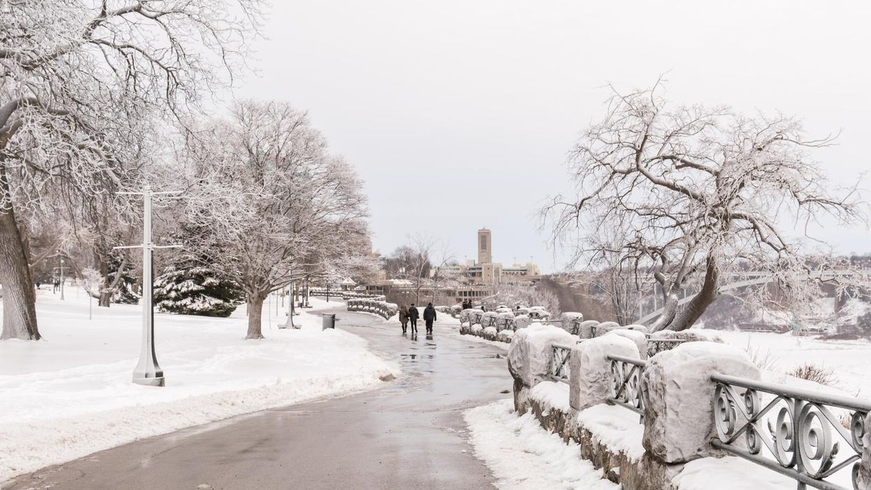
Niagara Falls during the winter
Niagara Fall's weather is looking bleak this weekend, so if you live in the area or are planning on travelling through the region you should expect to deal with a major snowfall.
According to Environment Canada (EC), parts of Niagara could record up to 50 centimetres of snow by Saturday evening as intense squalls sweep across the region.
"The worst conditions for the Niagara region and the northern shores of Lake Erie will be on Saturday, with areas from Long Point to Fort Erie seeing the worst of it," The Weather Network (TWN) reports.
Cities expected to be affected by the harsh weather include Welland, and Niagara Falls, which could see visibilities reduced to near zero thanks to the blowing snow.
"Snow squalls cause weather conditions to vary considerably; changes from clear skies to heavy snow within just a few kilometres are common," EC warns. "Travel may be hazardous due to sudden changes in the weather. Visibility may be significantly and suddenly reduced to near zero. Surfaces such as highways, roads, walkways and parking lots may become difficult to navigate due to accumulating snow."
The most significant risk for "disruptive snow" will be along the 401 east of Cobourg, making for some dangerous travel conditions.
"This region is prone to rapidly reduced visibilities due to the proximity of Lake Ontario, so those travelling should be prepared for near whiteout conditions on Saturday," the TWN report adds.
If you live or are visiting the Niagara region this week, you'll want to avoid non-essential travel and be prepared to use a snow shovel.
This article's cover image was used for illustrative purposes only.