Ontario's Weather Will Bring 'Impossible' Travel Conditions This Weekend & Up To 80 cm
It's going to be a snowpocalypse.
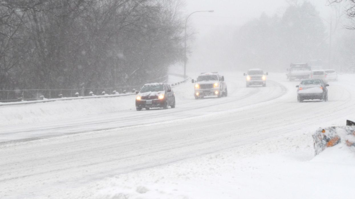
Cars in a snowstorm
Motorists, beware! Ontario weather will be far from suitable to drive in this weekend, with rounds of heavy snow squalls expected to make travel "impossible" at times.
According to The Weather Network (TWN), regions east and northeast of Lake Huron, Georgian Bay and Lake Ontario will be hit the hardest by the wintry pattern, with residents warned to look out for rapidly deteriorating conditions.
"Travel will become treacherous or downright impossible during the heaviest bands of snow, where visibility may approach zero at times and roads will quickly become impassable due to rapid snow accumulation," TWN reports.
Residents or people travelling through the Grey-Bruce, Muskoka or Niagara regions should be prepared to contend with significant snow accumulation and some of the heaviest snowfall in southern Ontario, with squalls likely to persist through Sunday morning.
"The worst conditions for the Niagara region and the northern shores of Lake Erie will be on Saturday, with areas from Long Point to Fort Erie seeing the worst of it," the report adds.
A few more densely populated areas, such as St. Catharines and Niagara Falls, will also face a severe snow threat this weekend.
Meanwhile, along the coast of Lake Ontario, the areas east of Coburg are at the greatest risk for "disruptive snow," which is expected to make travel dangerous on the 401.
Those regions could record widespread totals of 25 centimetres, with localized amounts reaching as high as 50 centimetres of snow "under the heaviest and most stubborn bands."
According to Environment Canada (EC), Bruce Peninsula, Owen Sound and the Blue Mountains could see snowfall amounts reach 80 centimetres by Sunday evening.
If you live in one of the areas forecast to see high levels of accumulations, EC encourages you to avoid non-essential travel.
This article's cover image was used for illustrative purposes only.
- Ontario's Weather Forecast Predicts 'Thigh-High' Amounts Of Snow & Road Closures This Weekend ›
- This Is When You Should Have Winter Tires On Your Car Or Else You're Doing It Wrong ›
- Ontario's 2022 Winter Weather Forecast Is Here & You're Gonna Need A Bigger Snow Shovel ›
- Ontario's Weather Forecast Is Calling For Up To 50 cm Of Snow Today & You'll Need A Shovel - Narcity ›
- This Ontario Town Got Buried In 125 cm Of Snow Over The Weekend & It's 'Ice Age' Vibes (PHOTOS) - Narcity ›