Ontario's Weather Will Be A Snowy, Soggy Mess Today & Driving Will Be A Nightmare
Some spots could get up to 25 centimetres of snow.
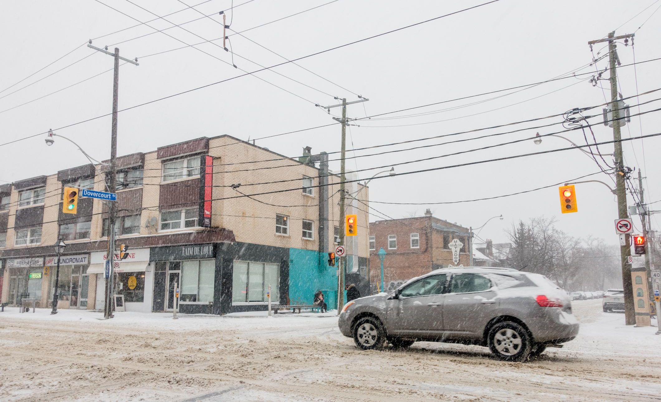
Toronto winter driving
If you were enjoying wearing shorts in November, then Ontario's weather suddenly shifting full tilt to winter is probably not the news you want to hear, but it's happening.
According to The Weather Network (TWN), the Greater Toronto Area (GTA) will see its first significant encounter with snow on Tuesday, with squalls expected to sweep across the region and disrupt afternoon and evening commutes.
But that's just the tip of the iceberg. A more widespread snowfall event is expected to land overnight on Tuesday, leaving the area on track to record its first accumulating snow of fall 2022 by Wednesday morning.
"On Tuesday, easterly winds blowing over Lake Ontario are forecast to develop a snow squall that will, at times, target parts of the GTA with brief bursts of snow, slick roads and reduced visibility," TWN reports.
As for who will be most affected by the weather? Experts say that 5 to 10 centimetres of snow is possible for regions further away from the Great Lakes, while less than 5 centimetres is likely for lakeshore areas like Toronto, Kingston and Niagara.
"In the areas where the lake-effect snow squall band sets up, it is possible for amounts to exceed the forecast and could be locally higher up to 15 cm," it adds.
The City of Thunder Bay and the Superior West region are both under a snow squall warning on Tuesday. Motorists are being warned to prepare for "significantly reduced" visibility due to heavy snow, 15 to 25 centimetres.
"Visibility may be suddenly reduced at times in heavy snow," Environment Canada warns. "Rapidly accumulating snow could make travel difficult over some locations."
This article's cover image was used for illustrative purposes only.