Toronto's Weather Forecast Is Predicting A 'Wet Snow Threat' This Week & It's Going To Suck
Downtown could be hit hard.
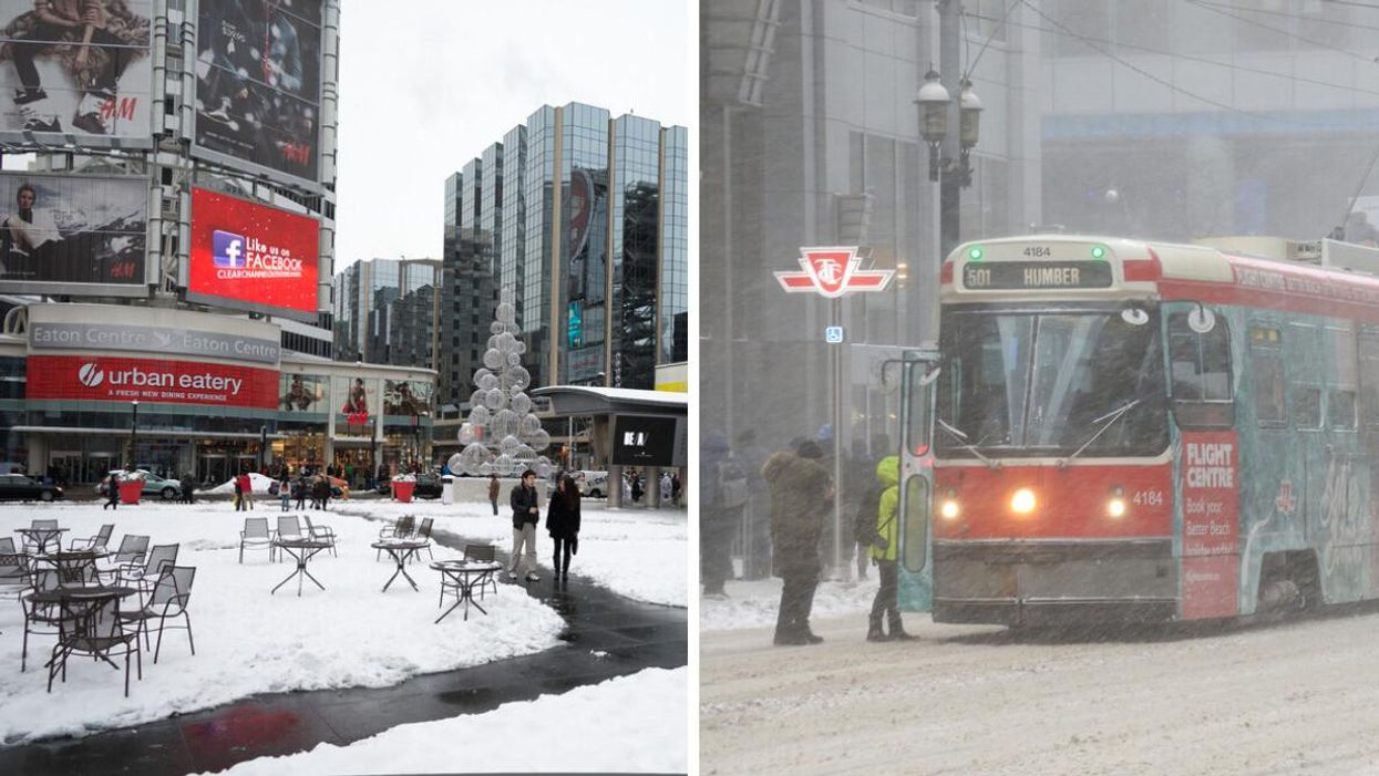
Yonge and Dundas Square in winter. Right: A streetcar in a snowstorm
After weeks of above-seasonal temperatures, Toronto's weather forecast got its first real taste of winter this weekend, and things aren't expected to slow down anytime soon.
According to The Weather Network (TWN), only Ontario's snow belt regions will see "additional accumulations" and "snow squalls" on Monday, with things expected to taper off by the afternoon.
However, despite dodging today's flurries, temperatures will remain bitter enough in the Greater Toronto Area (GTA) to set up residents for another wintry blast, by Tuesday, November 15, 2022.
"On Tuesday, winds out of the northeast will result in bands of wet snow targetting cities like Oakville, Burlington, and even downtown Toronto," TWN reports.
The low-pressure weather event will mark the first time the GTA has been under a widespread "wet snow threat" this season, which will linger overnight into Wednesday morning.
"Typical of mid-November events, temperatures will be marginal with accumulations highly impacted by elevation and distance from the Great Lakes."
Downtown Toronto will likely get around 1 to 3 centimetres of snow on Tuesday, while more western parts of the GTA, such as Brampton, are slated to receive 2 to 4 centimetres.
The December-like pattern will also have serious staying power, with rounds of lake-effect snow expected to push through the weekend, making temperatures feel as low as -8 degrees by Sunday.
Will it be cold during the Ontario 2022 winter?
Yes. Don't let the season's slow start fool you. Predictions suggest that winter is going to be extra chilly this year.
The Old Farmer's Almanac 2023 Canadian Edition predicts a colder and snowier winter than usual, with higher-than-normal precipitation levels expected to sweep across the province.
- Ontario's 2022 Winter Weather Forecast Is Here & You're Gonna Need A Bigger Snow Shovel ›
- Toronto's Weather Has Been So Chaotic This Season That It's Actually Broken Records ›
- Toronto Is Days Away From Winter-Like Weather & Could Get Its First Snowfall Of The Season ›
- A Toronto Newcomer Saw Snow Fall For The First Time & Locals Are Offering Winter Survival Tips - Narcity ›